If you are curious about the natural world, scientists need your help!
Citizen science projects harness the power of interested people to gather data for use in important research. Many of these projects ask people to observe and document the plants, animals, or natural phenomena around them with a camera or smart phone, whenever they wish. Others require more specific training, or ask for in-person participation.
Our own Monitoring program uses data gathered by citizen scientist volunteers and staff members to keep an eye on long-term trends in water quality, bacteria levels, and other factors that influence stream and bay health.
If you want to help scientists understand what’s going on in Morro Bay, there are quite a few projects you can get involved in.
Great Backyard Bird Count this weekend
Duration: February 12–February 16, 2016
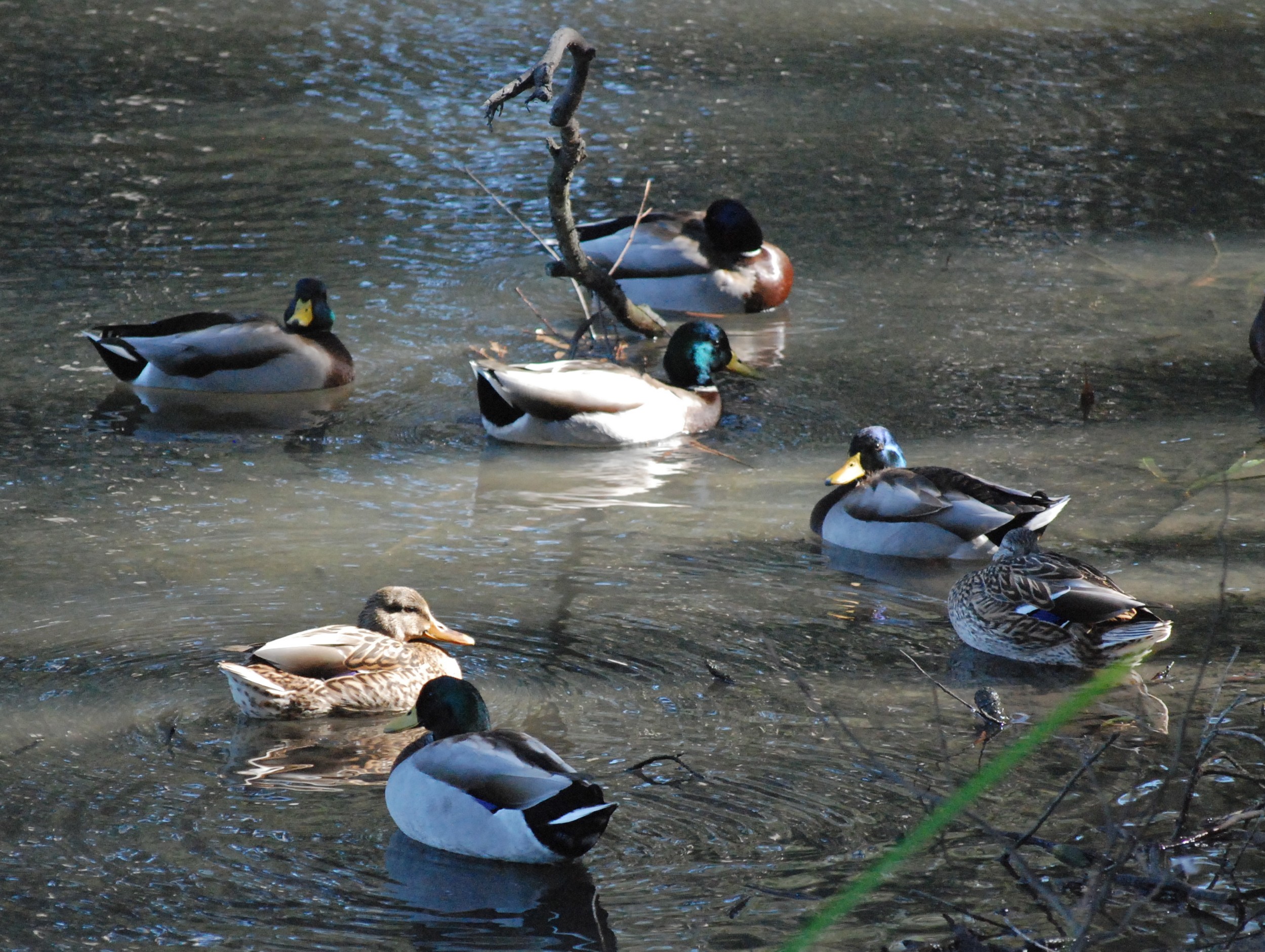
The 19th annual Great Backyard Bird Count (GBBC) starts tomorrow! Last year a record 143,000 volunteers in more than 100 countries participated in the GBBC. This year, organizers are hoping for even more citizen scientists to start counting. This giant volunteer effort asks people to submit a checklist of the birds they see in their backyards, neighborhoods, favorite parks, or anywhere else they like, over a period of at least 15 minutes between February 12 and February 16. You don’t have to be an expert to get involved. You can partner up with birders in the know, or use any number of bird apps to identify the species you see.
You can tally your results and enter data into ebird. These observations serve as a snapshot of the species found in a specific area at a specific time. When scientists put all of this data together, they can see changes in migration patterns, note any sighting anomalies, see if any species are missing from areas where they are usually found, and understand the overall health of bird populations worldwide.
Since Morro Bay is recognized as an Important Bird Area, it would be wonderful to have data from Morro Bay and Los Osos locals included in the mix.
A Few Citizen Science Apps
These apps allow you to participate in science projects whenever and wherever you are.
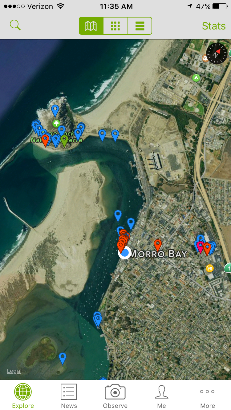
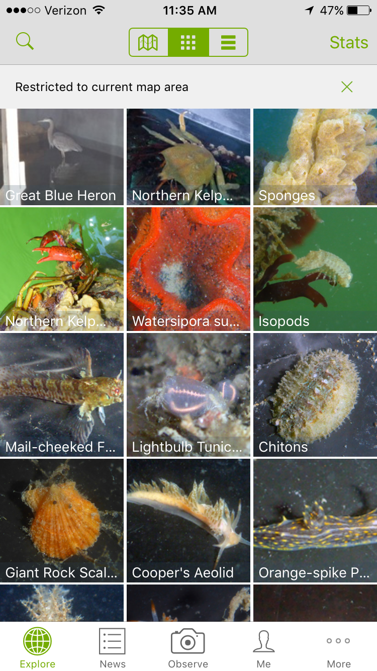
iNaturalist
Contribute to biodiversity research by documenting the plants and animals you see. This app also works as a sort of scientific social network, allowing you to upload a picture of a species you’d like help identifying, and discuss it with other members.
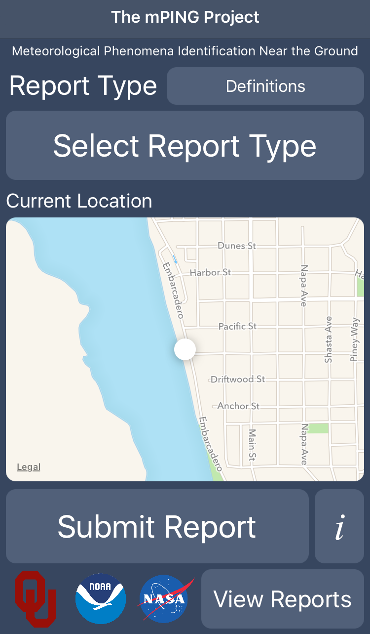
mPing
While NOAA has sophisticated radar and weather modeling capabilities, they can’t know exactly what’s happening on the ground. That’s where you come in. If it’s raining, hailing, or snowing in your neck of the woods, NOAA wants to hear about it. Your data will help them develop new forecasting and radar technologies.
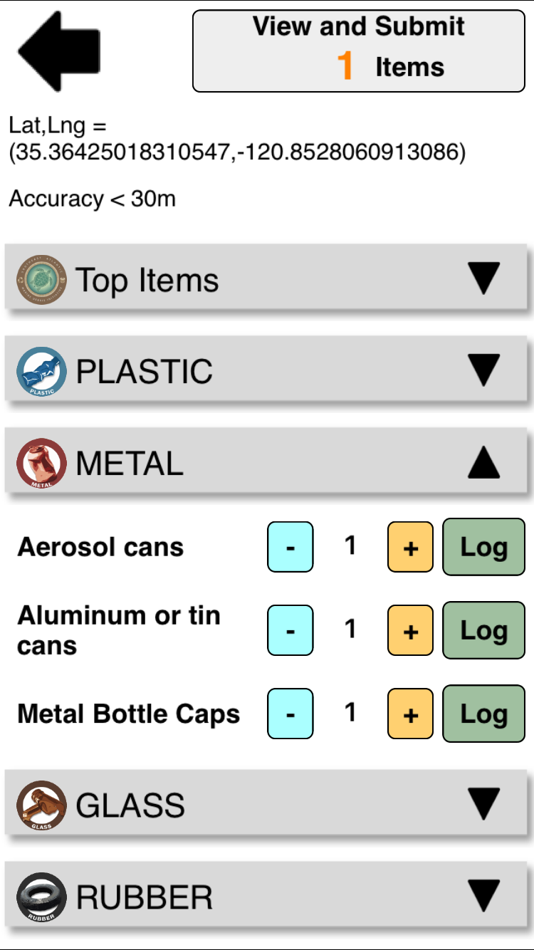
Marine Debris Tracker
This app lets you track a variety of marine debris items you find through preloaded checklists, including one list that includes all of the items tracked on International Coastal Cleanup Day. It saves the data along with your geotagged location, and adds it to a database. Visit the Marine Debris Tracker website to view a map that shows the data collected by other citizen scientists.