Jan 20, 2017

Photo Friday: Watching the Rain


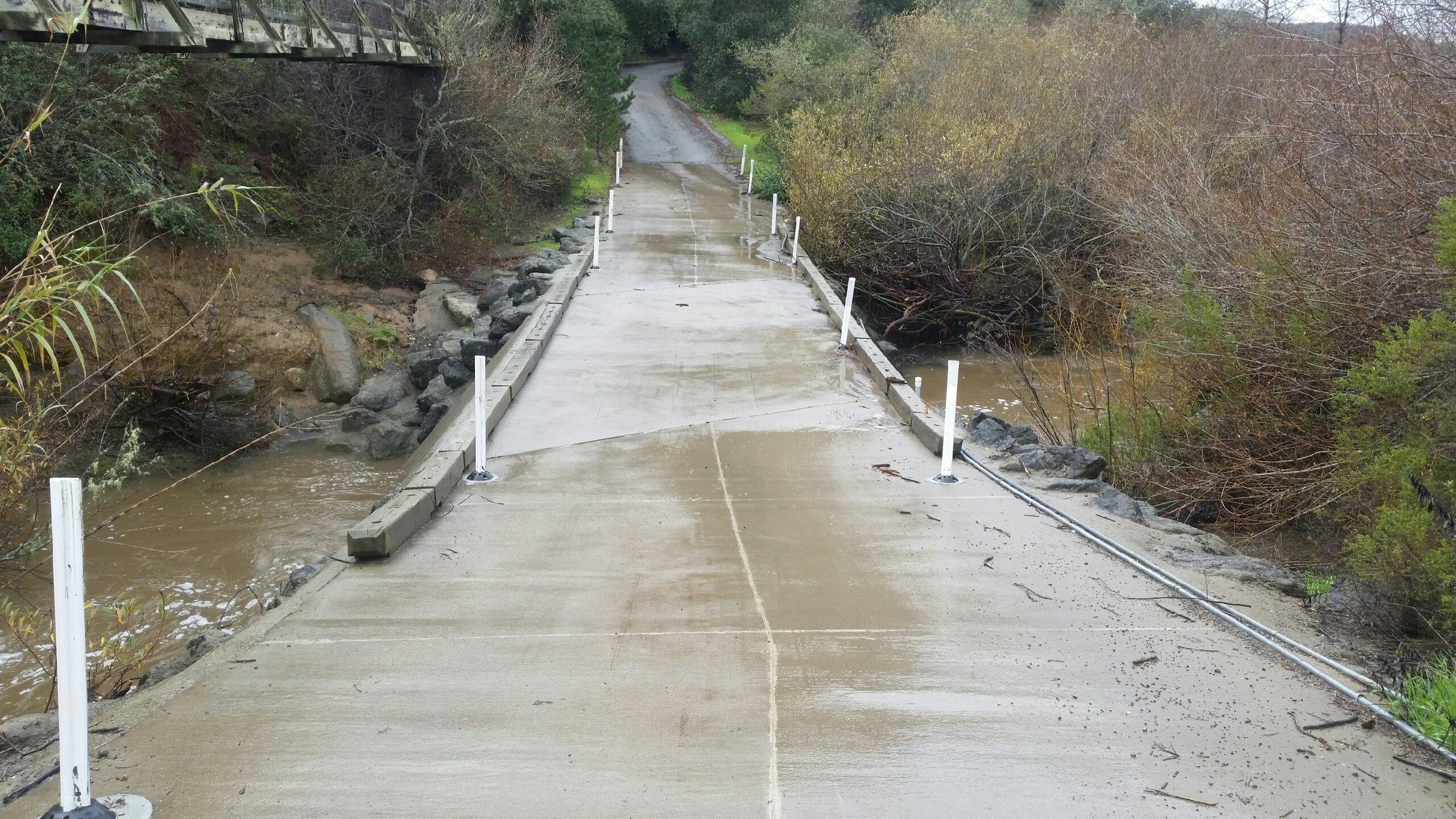
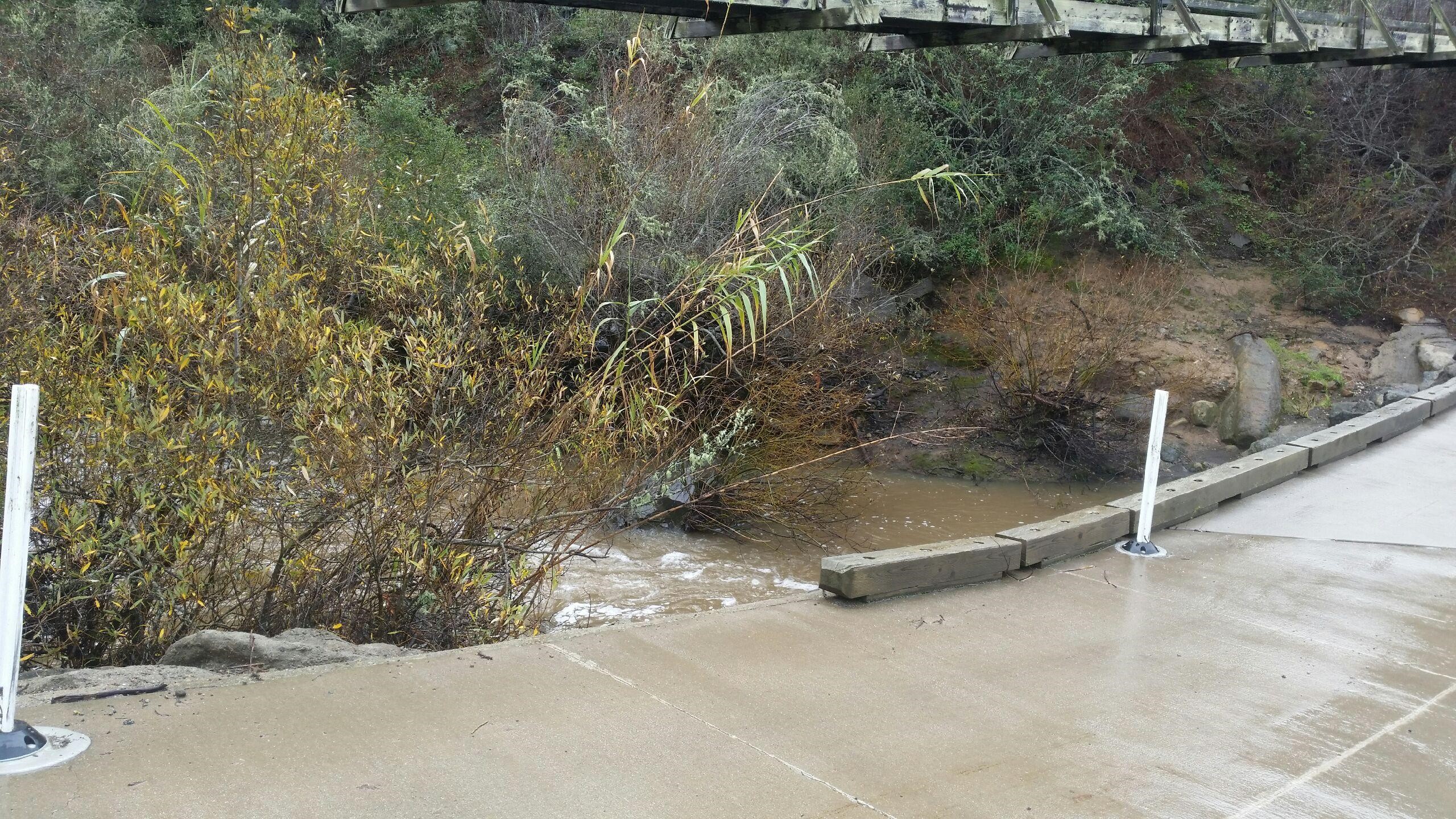
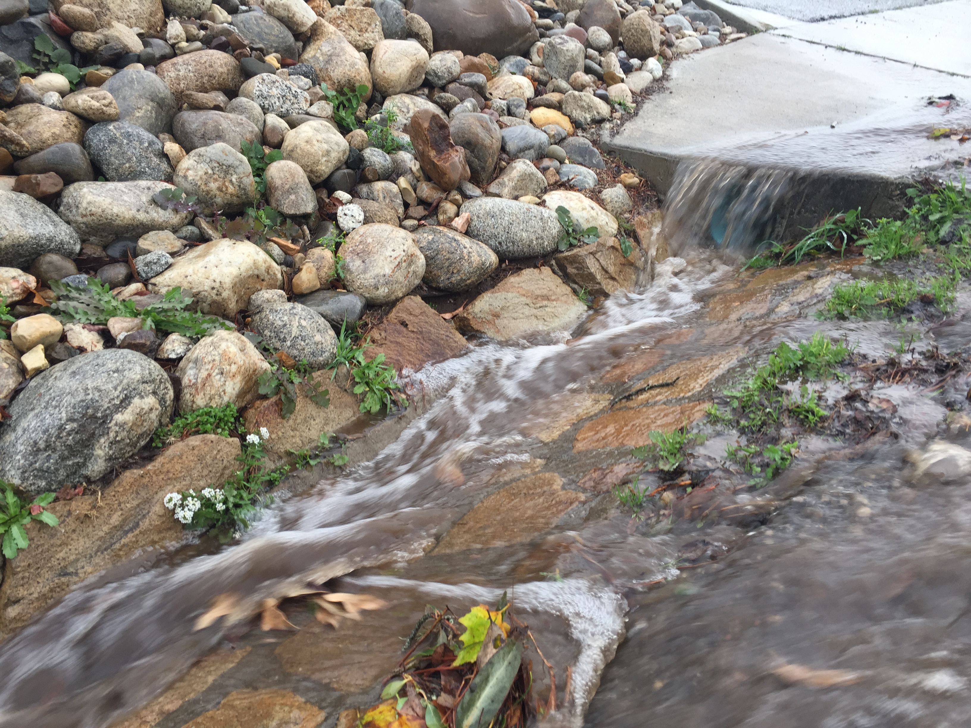
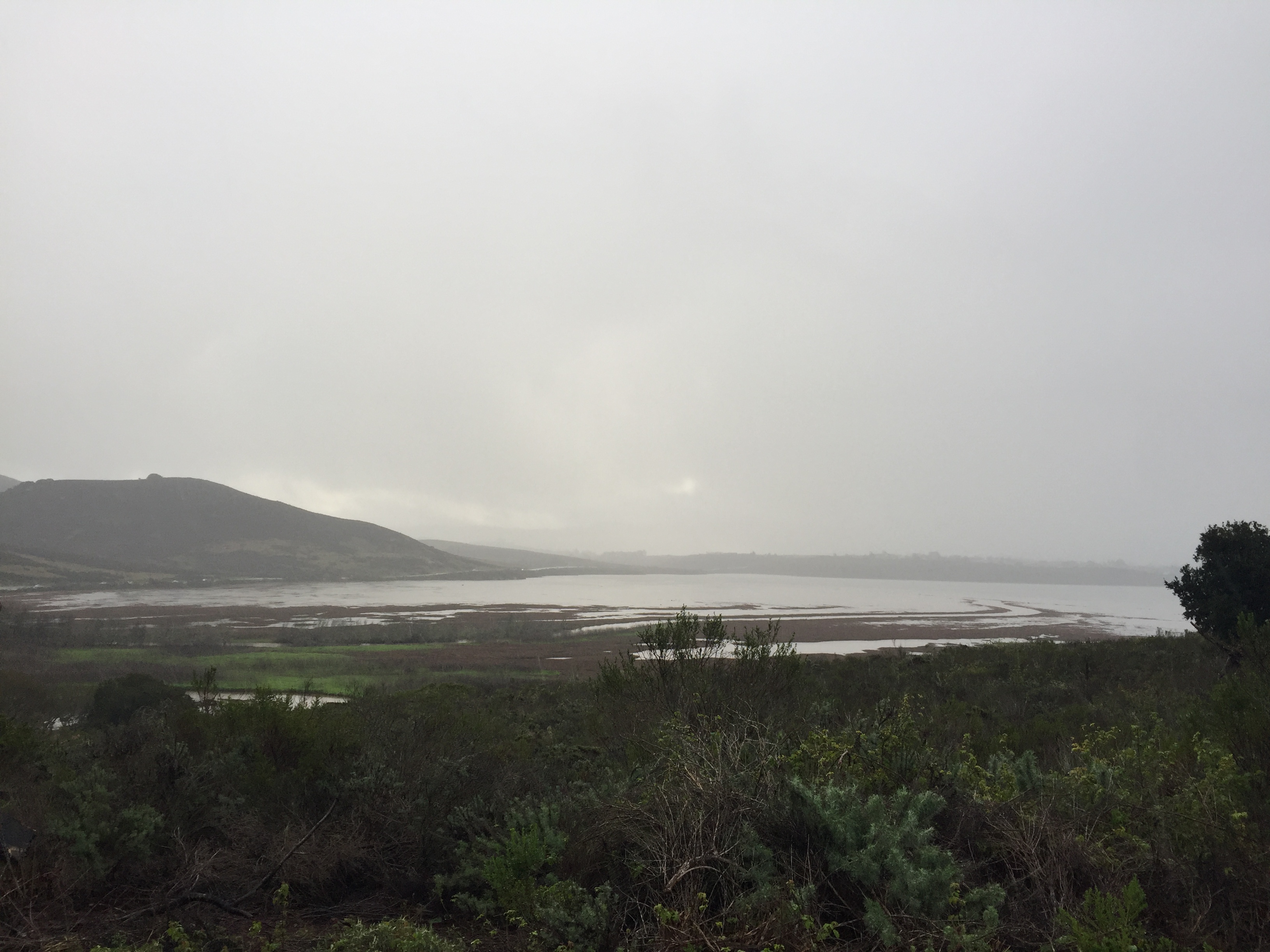
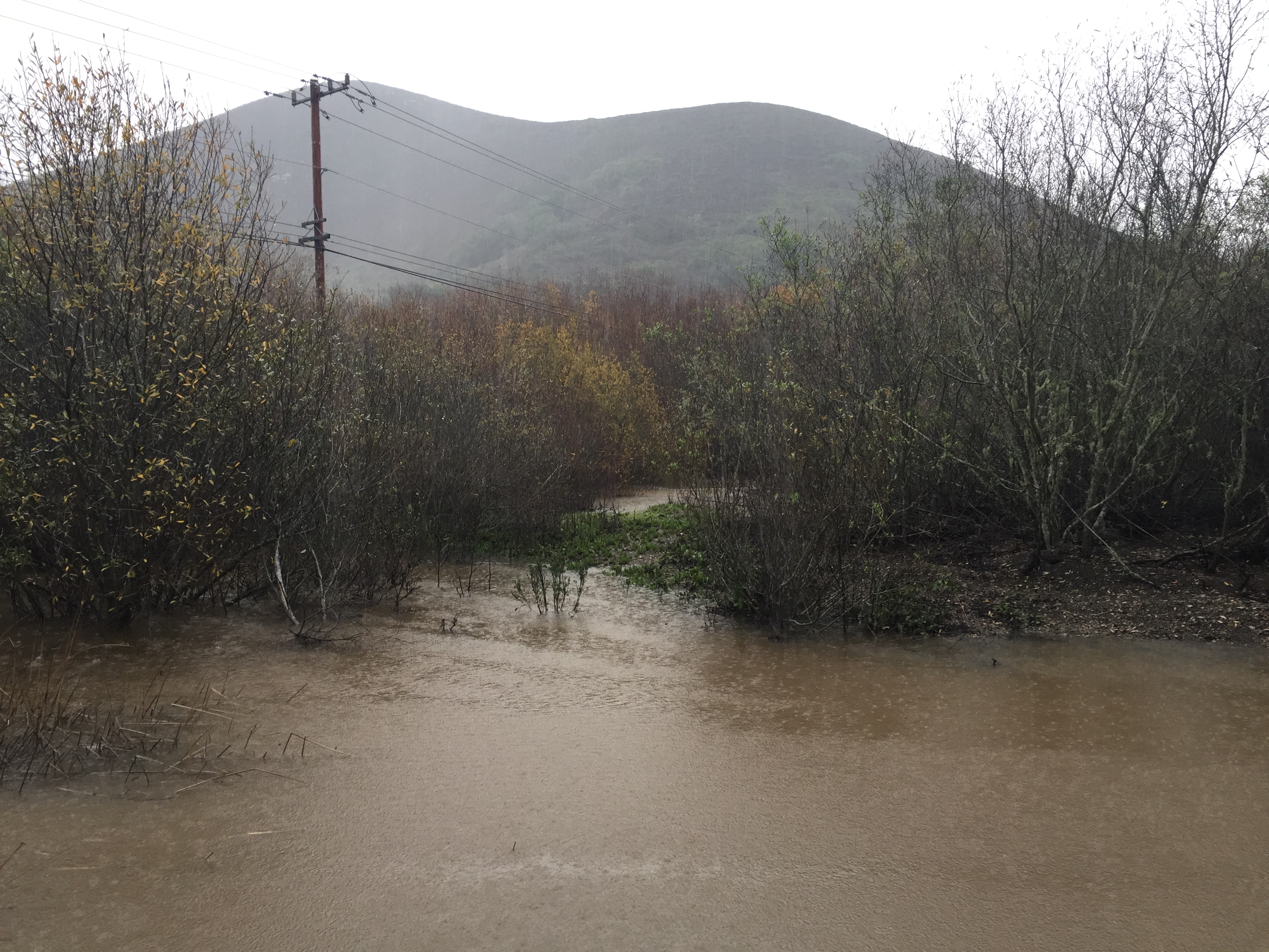
This winter has been exciting for weather watchers across California. The Morro Bay watershed received almost four inches of rain in the month of December, and January has started out wet, too. We are currently experiencing the effects of an atmospheric river—a long, narrow section of the atmosphere that transports a large amount of moisture.

Local weather forecasts predict that Sunday, January 22, will be the biggest storm yet. We’ve been keeping an eye on the sky and paying close attention to the streams that are transporting all of this precipitation to the estuary. Below, you’ll find images of the rain coming down and swelling local creeks on its way to the bay.
Chorro Creek at Canet Road was at 6 feet on Thursday, January 19.
Chorro Creek at Canet Road was at about six feet on Thursday, January 19.
Here's another view of Chorro Creek at Canet Road.
Here’s another view of Chorro Creek at Canet Road.
Stormwater runs down the gutter along Upper State Park Road in Morro Bay.
Stormwater runs down the gutter along Upper State Park Road in Morro Bay. This water, and any other water entering storm drains in the watershed, will end up in the estuary.
A view of the estuary from Upper State Park Road. The channels are full from the high tide and also from runoff.
A view of the estuary from Upper State Park Road. The channels are full from the high tide and swollen with  runoff.


The water at Twin Bridges rises with stormwater.
The water at Twin Bridges rises with incoming stormwater.

 Please make sure to maintain a safe distance from bodies of water during storm events and to keep out of the water for at least 72 hours after a storm.

Want local weather information?