At the Estuary Program office, we are always excited to see the rain come down. When enough rain falls, creeks flow at adequate levels, giving fish and other aquatic wildlife a better chance to survive and thrive. On the other hand, rain can wash trash, sediment, and other substances into storm drains, creeks, and out into the bay. It’s important to make sure that we dispose of trash, pet waste, debris, and chemicals properly. so that they can’t catch a ride into our waterways.
Today, we are sharing some of our favorite pictures of the most recent storm. If you have pictures that you would like to share, please send them to us at staff at mbnep dot org.
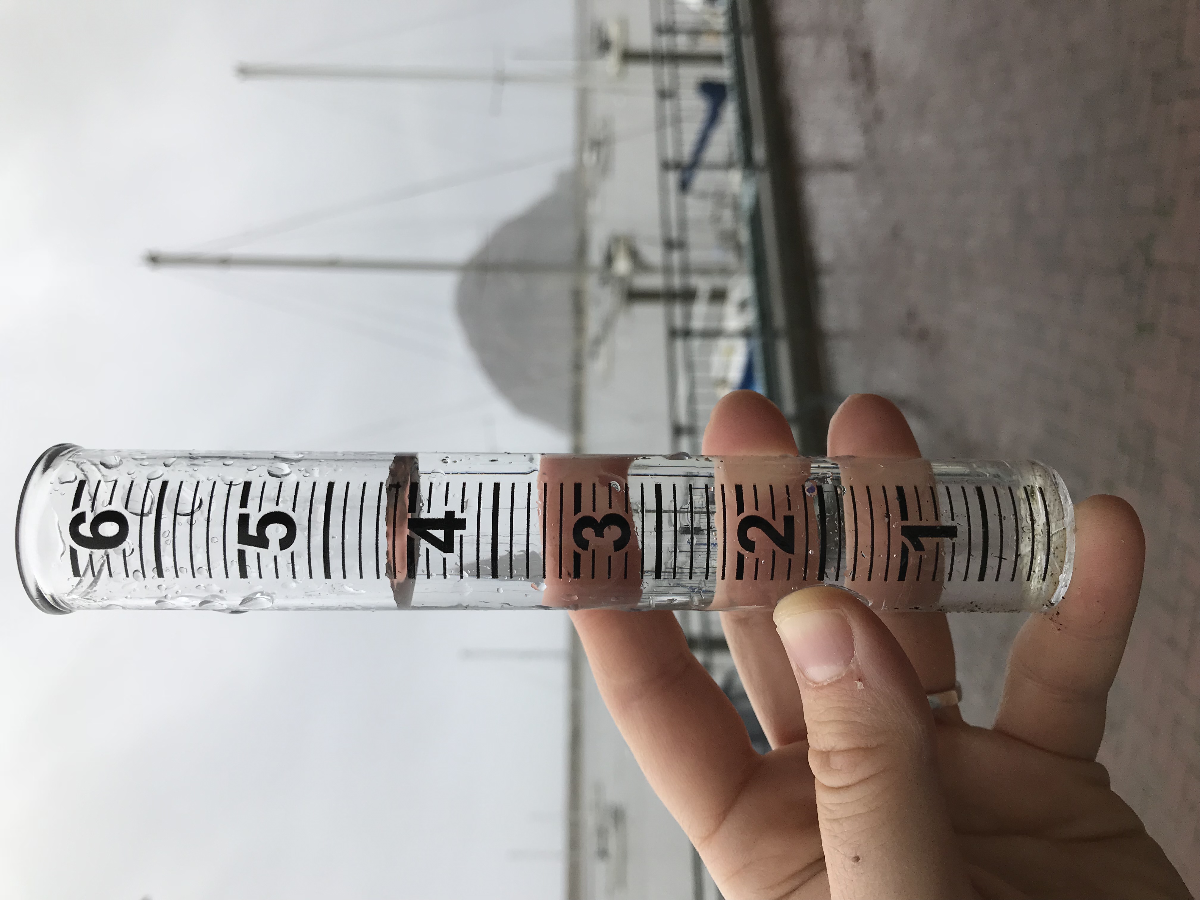
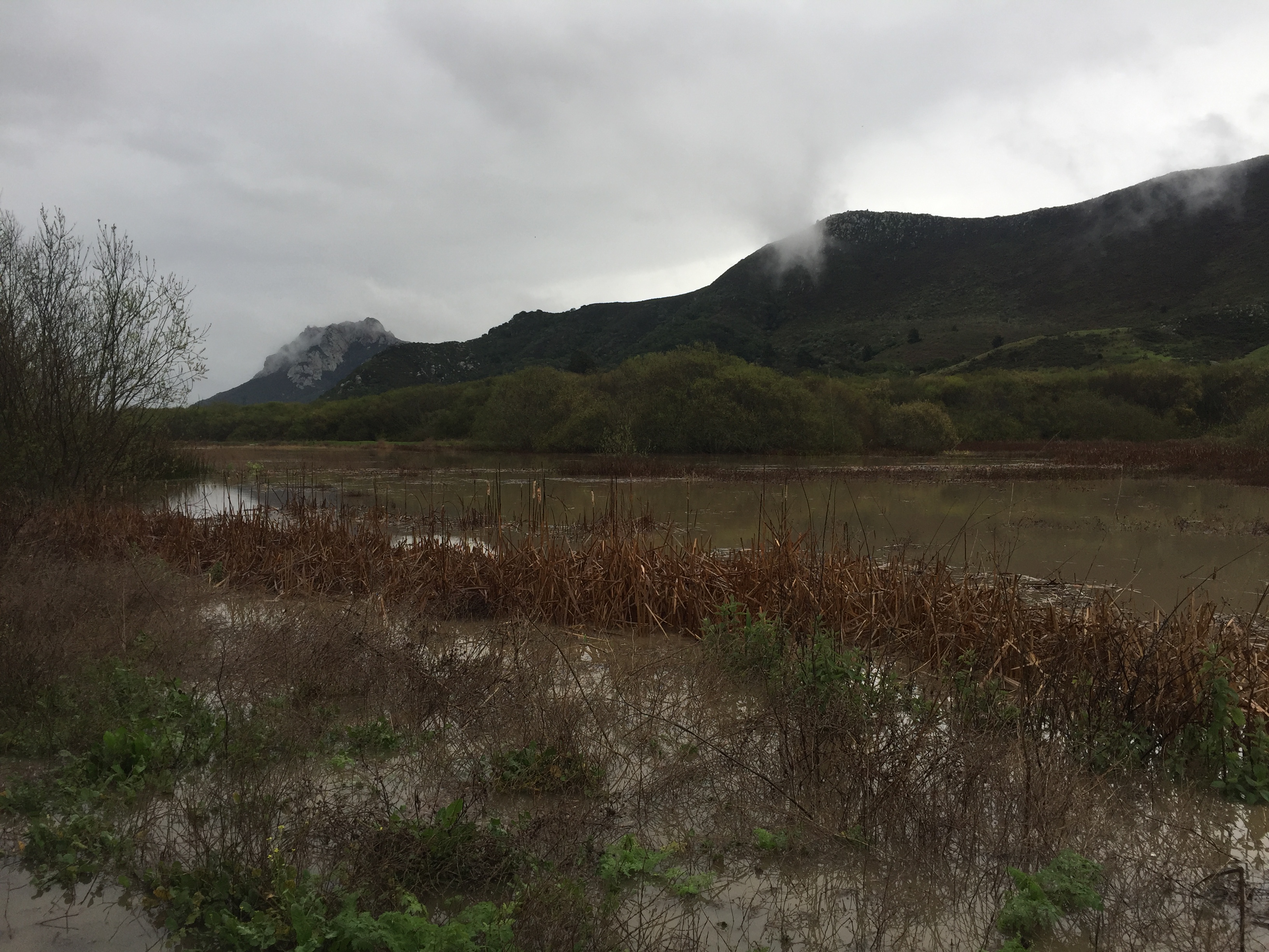
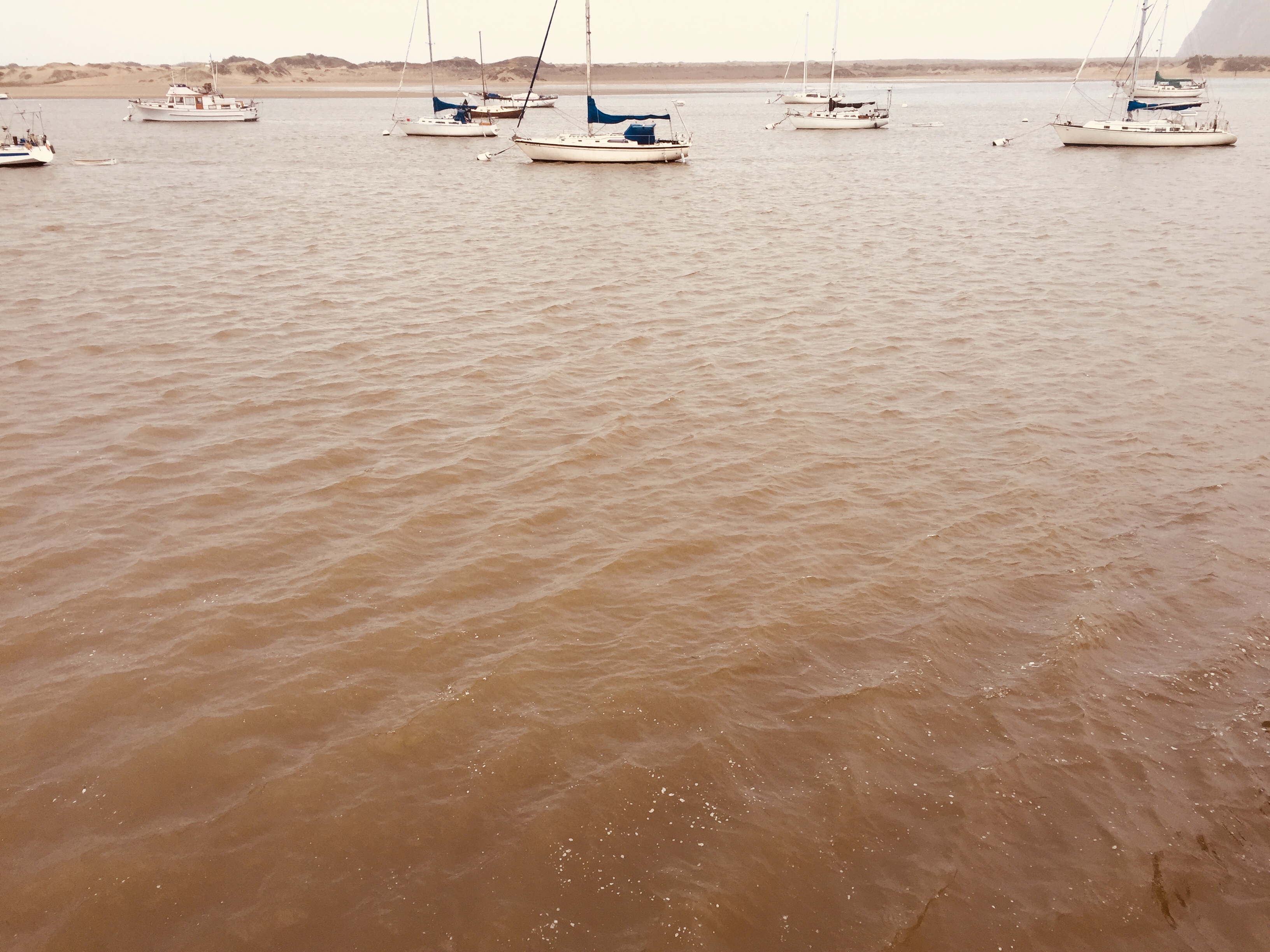
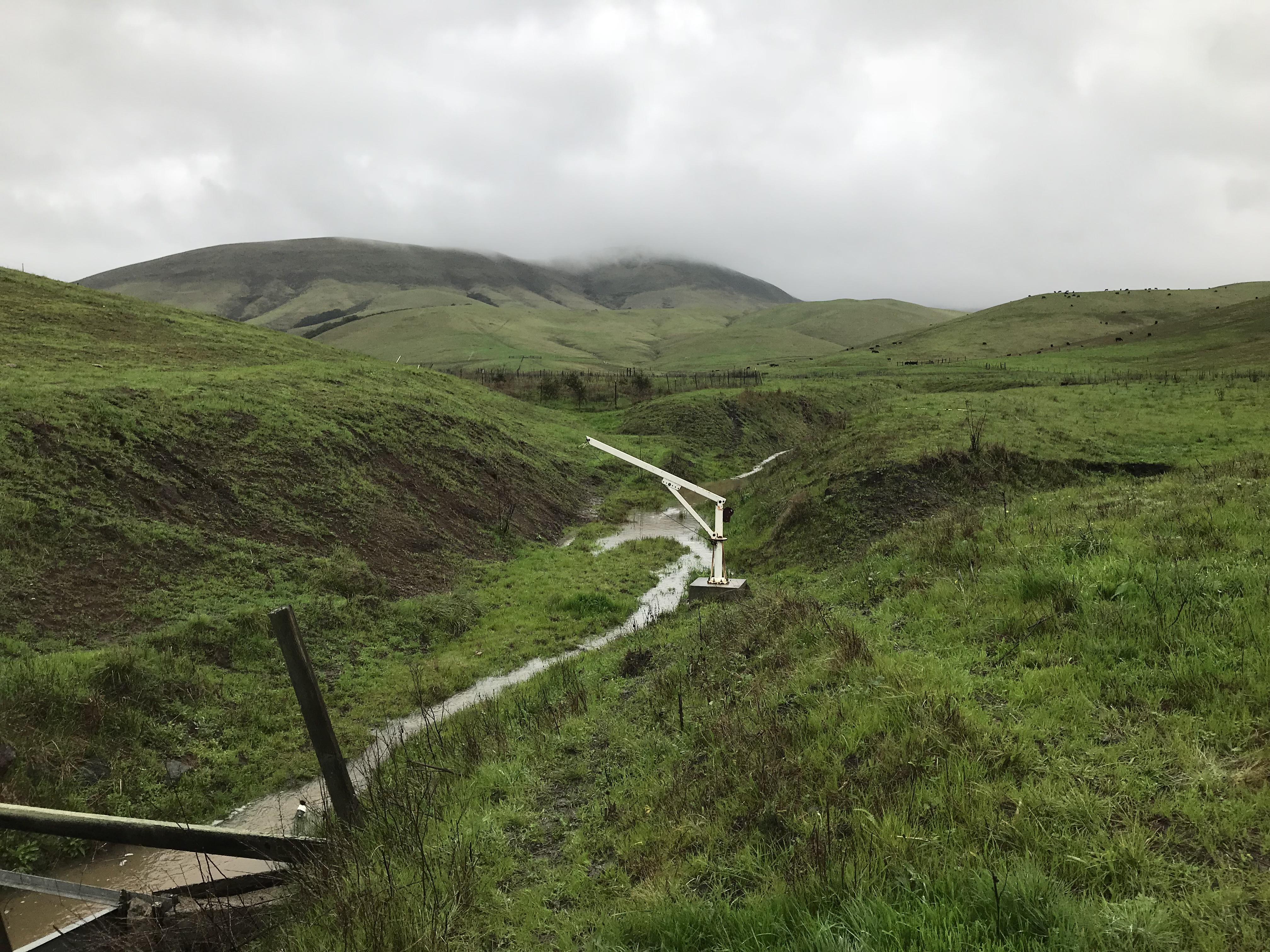
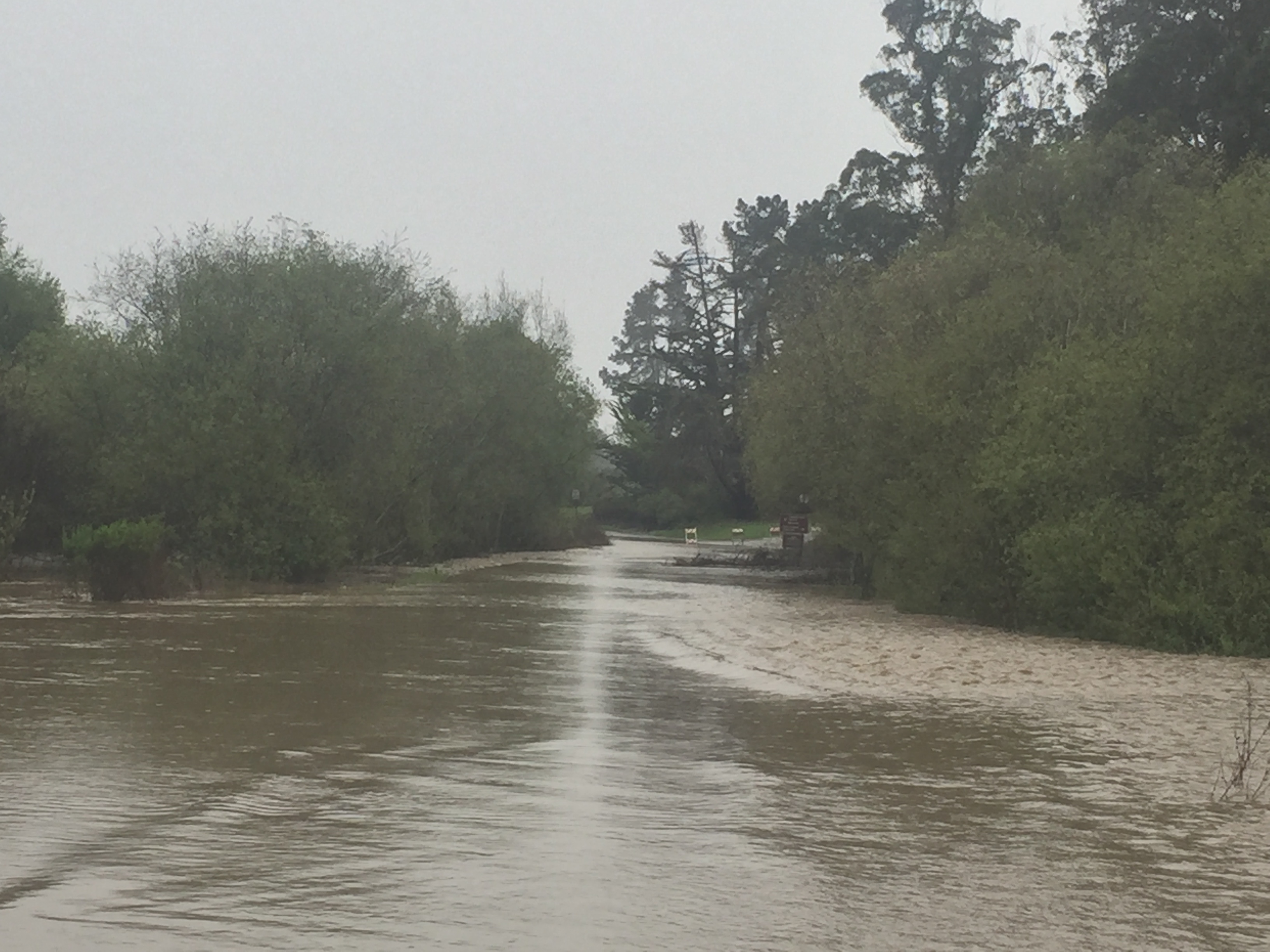
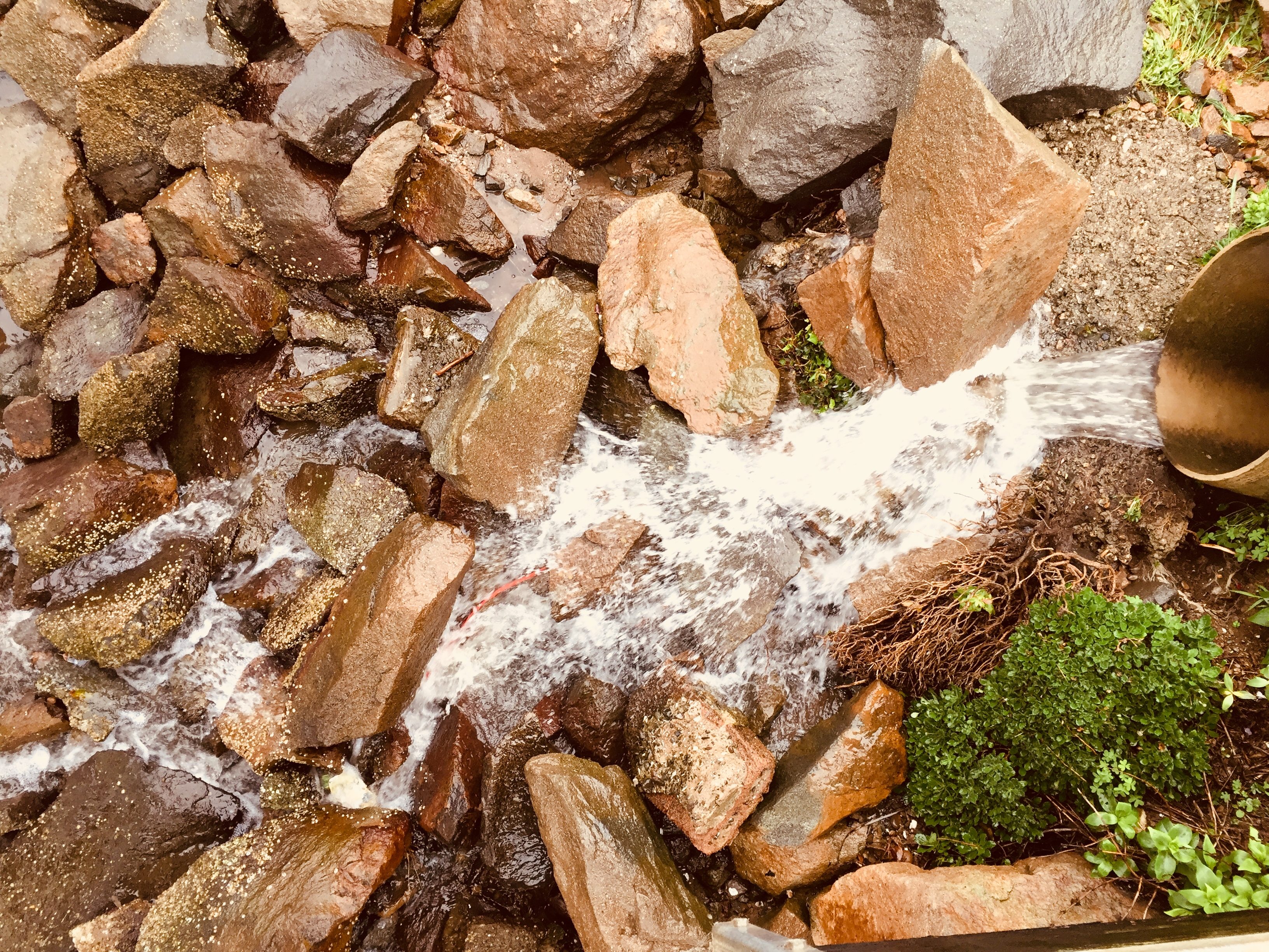
The Estuary Program rain gauge has never been so full! Pick up your free gauge at our office to join your neighbors in tracking local rainfall. mbnep.org/rain.The Chorro Flats area off of South Bay boulevard and Lower State Park Road is a natural floodplain. This area was restored in the 1990s and continues to trap sediment every time it floods.This photograph isn’t in sepia tone. The water in the Morro Bay estuary turns brown when sediment flows into it through Los Osos and Chorro Creeks during storms.It is rare to see water flowing down Walters Creek. When it does flow, it is one of the tributaries to Chorro Creek, which flows directly into Morro Bay.Lower State Park Road was closed due to flooding during the most-recent storm. Even a light rain can set storm drains flowing. This storm drain leads directly into the bay from the Morro Bay Embarcadero.