
Are important natural areas being protected, enhanced, and restored?
Protecting Habitat in the Morro Bay Estuary Watershed

Wild natural lands support wildlife, clean water, healthy soils, and a rich array of life in our diverse watershed. The Estuary Program and our partners work to protect, enhance, and restore wild lands that support native plants and animals, are resilient to changes in climate, and support natural processes.
Natural Areas Conserved, Enhanced, and Restored in the Morro Bay Watershed
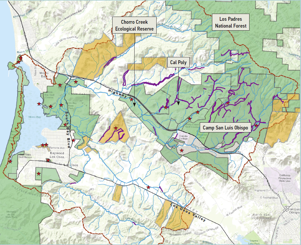
This map summarizes the areas in the Morro Bay watershed that are conserved, as well as locations of various types of improvement projects.
Conservation easements preserve land and protect historic uses
Protecting lands from future development and high-intensity uses ensures natural areas will persist for many decades to come. Land can be protected using two common approaches—buying property outright for a public agency or environmental organization to own or manage, or entering into an agreement with a willing landowner to limit future land uses without purchasing the property. This second option is called a conservation easement.
The Estuary Program partners closely with The Land Conservancy of San Luis Obispo County to promote land conservation in our watershed. Since our 2017 State of the Bay report, three new conservation easements on private land have been completed. These easements total nearly 1,000 acres. The Estuary Program contributed funding to help complete an important agreement on the Kandarian Organic Farms.
The 133-acre farm features prime agricultural soils along the valley bottom with oak woodlands and shrub lands along the hills on the upland portion of the farm. Larry Kandarian plants an array of organic ancient grains, vegetables, and flowers and leases a small portion of the upland grazing land to a neighboring landowner. The property includes hillsides that support a variety of wildlife species that migrate through the greater Irish Hills ecosystem. The agricultural productivity, wildlife habitat, and scenic beauty of the land is protected by a conservation easement. This agreement preserves approximately half the land for agricultural production and the other half for habitat conservation.
Enhancing and restoring protected lands
After natural areas have been protected, active management helps maintain the integrity of wild lands and reduce risks to people and wildlife. One management approach is enhancement, which means improving habitat conditions to reduce future impairment. Over the past few years, our local State Parks team has worked in Morro Bay State Parks to reduce future fire risk and improve natural conditions. Fire management sometimes means setting prescribed, or planned, fires to reduce the fuel available for future wildfires and to support natural vegetative growth while maintaining recreational areas. Morro Bay State Park efforts have reduced fuel loads, resulting in healthier natural areas in one of the region’s most visited parks.
Fire management is an important aspect of forest management. Fires that do not threaten people and structures may be allowed to burn as they provide many benefits such as thinning forests to open the canopy and allow in sunlight while reducing dead trees and plant matter that could fuel uncontrolled fires. Sometimes controlled burns are conducted to bring the same benefits. Fire management efforts also include fuel management and fire suppression where appropriate.
What is restoration?
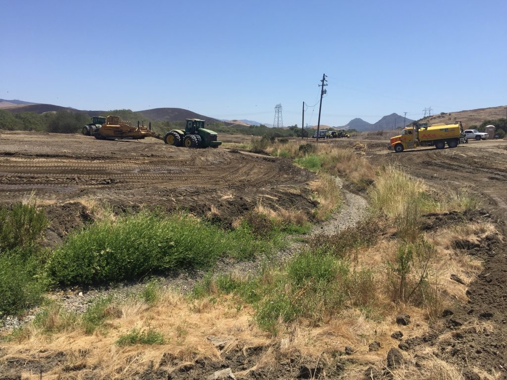
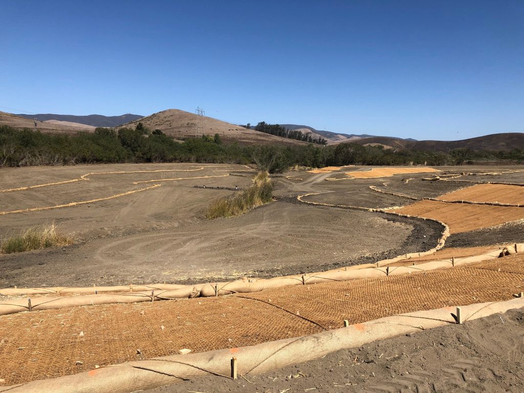
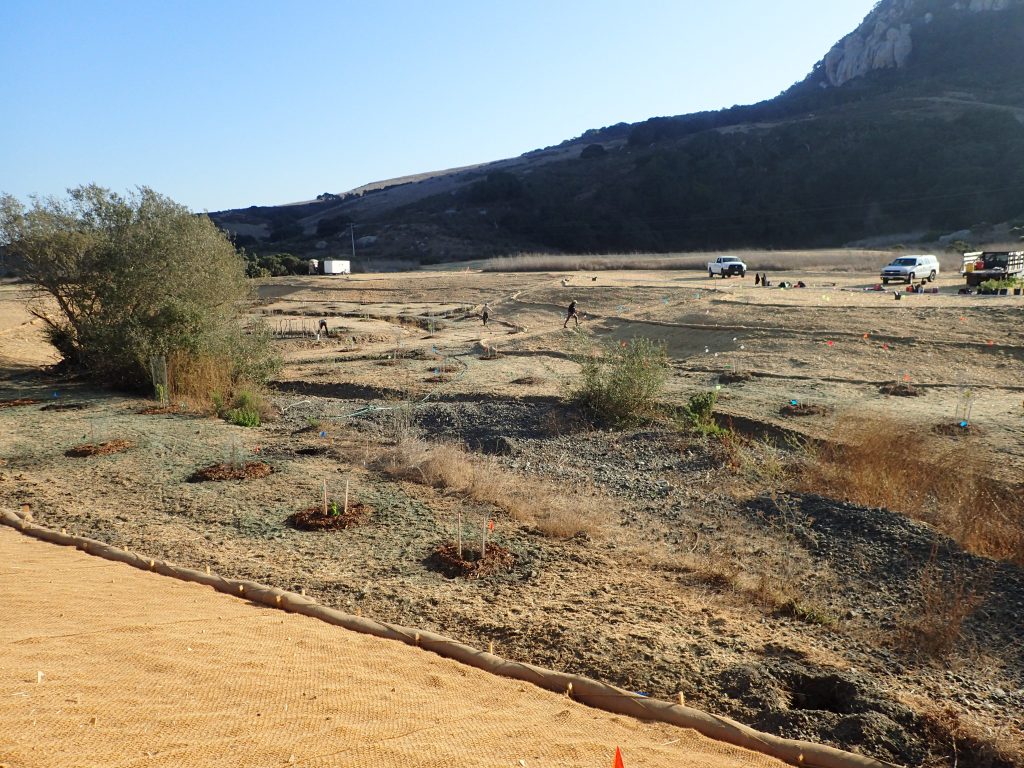
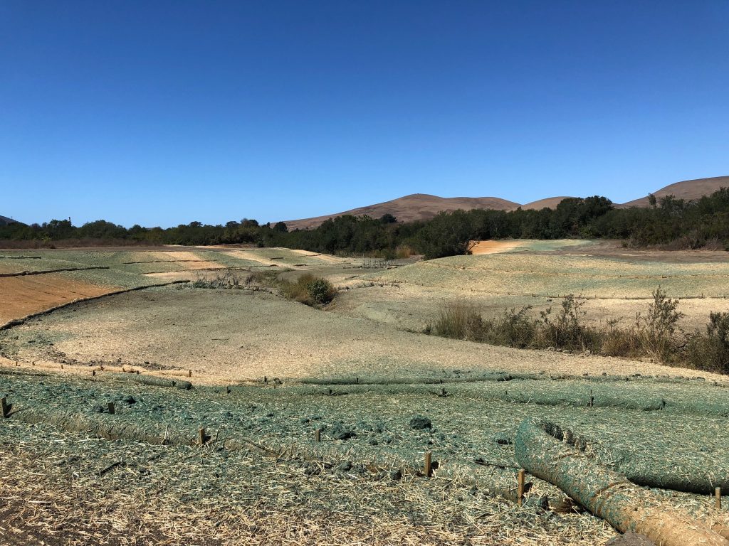
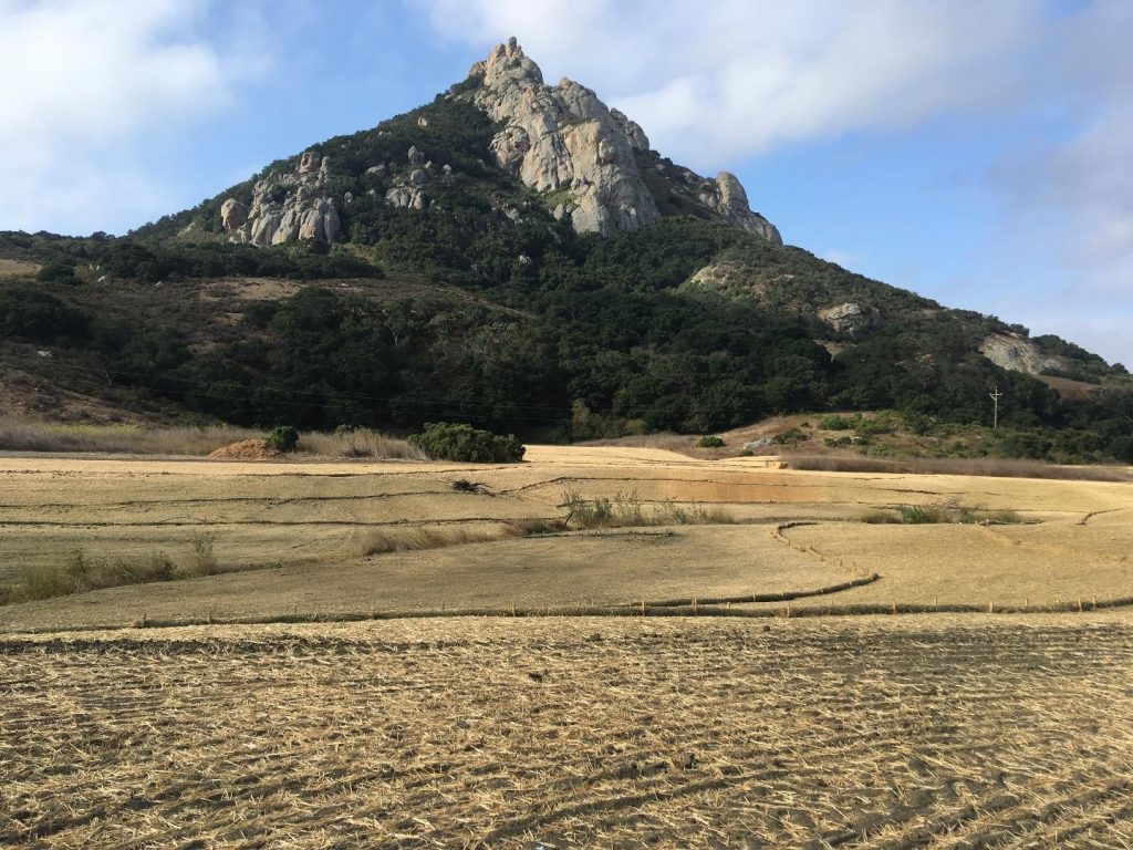
Restoration is a more intensive approach to land management that aims to return degraded lands to conditions that support wildlife and natural functions. The Estuary Program completed a floodplain restoration project in 2019 located within the 580-acre Chorro Creek Ecological Reserve that is owned and managed by the California Department of Fish and Wildlife (CDFW). The land was purchased in 2002 by the Estuary Program with financial support from partner agencies before transfering ownership to the CDFW. The Reserve includes approximately 1.5 miles of Chorro Creek, which provides habitat for federally threatened steelhead trout and California red-legged frog.
The goal of the project was to restore and enhance floodplain connectivity and riparian (creek side) vegetation for wildlife and aquatic species while reducing sediment loading to the Morro Bay estuary. In an effort to protect farm lands, previous owners built a levee next to Chorro Creek and the floodplain was recountoured, adversely impacting habitat. The restoration effort included expanding a levee breach, regrading two side channels, planting native vegetation, and upgrading a creek crossing. Funding was provided by the California State Coastal Conservancy, CDFW, and the Estuary Program.
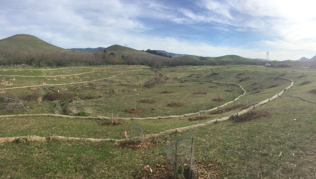
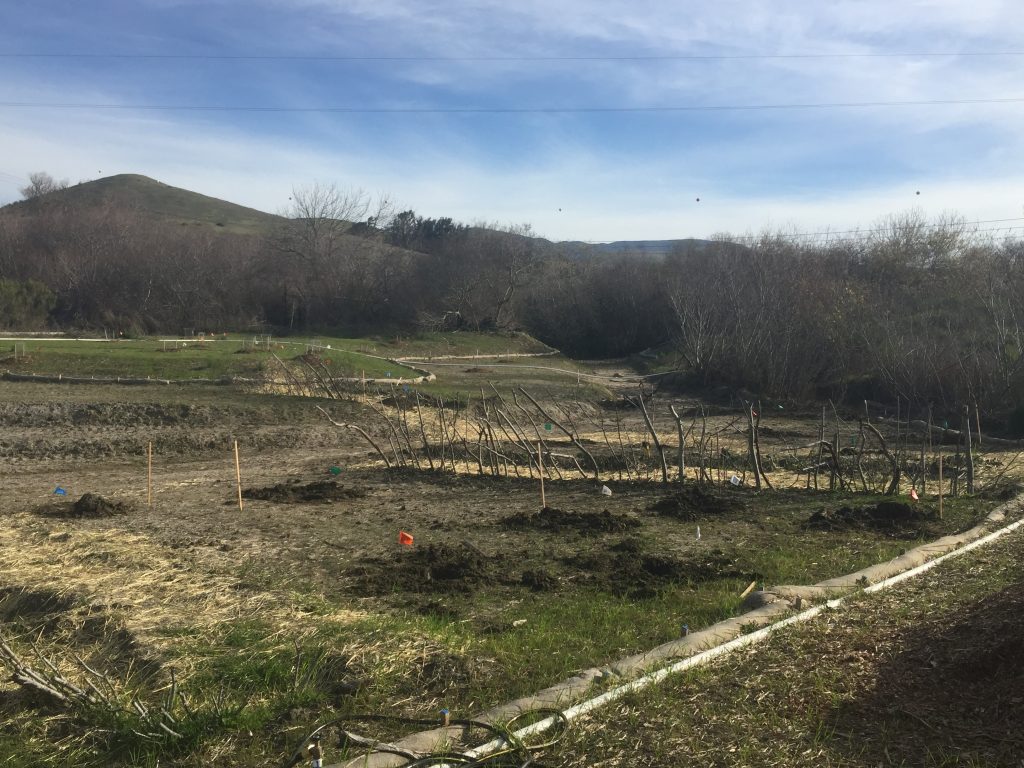
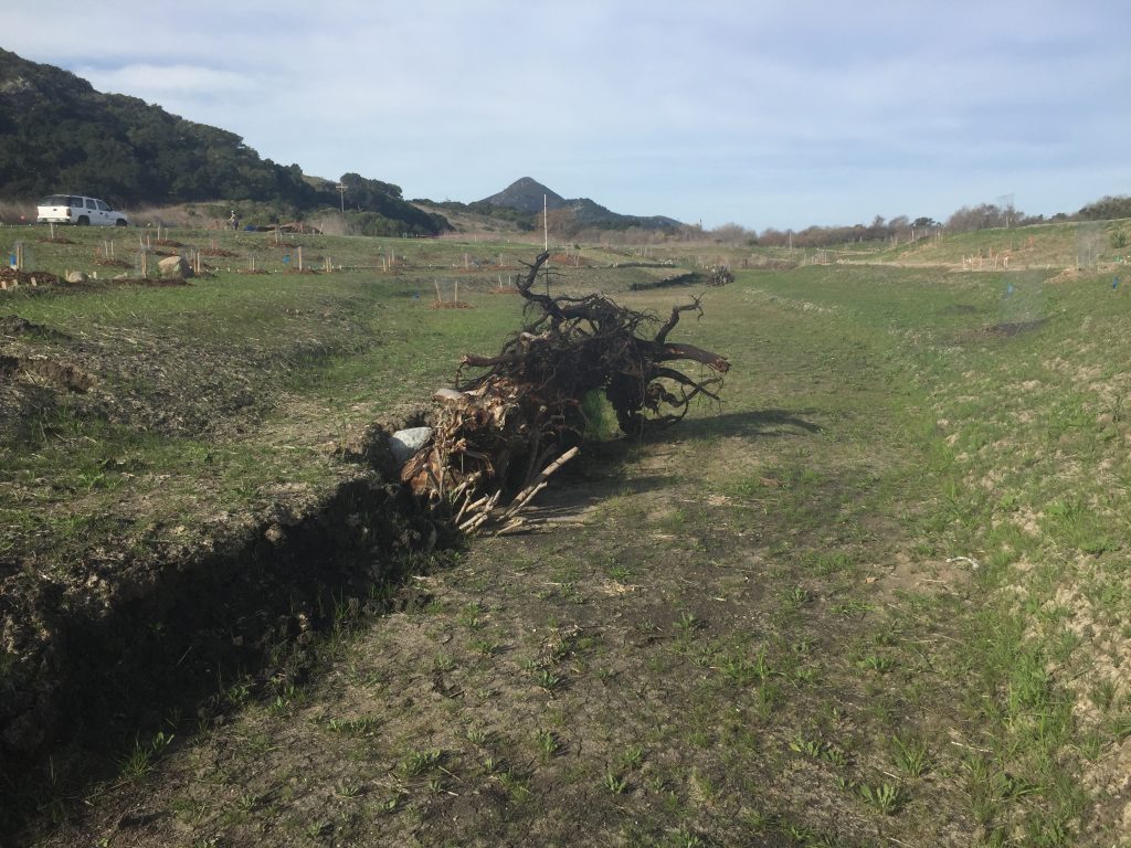
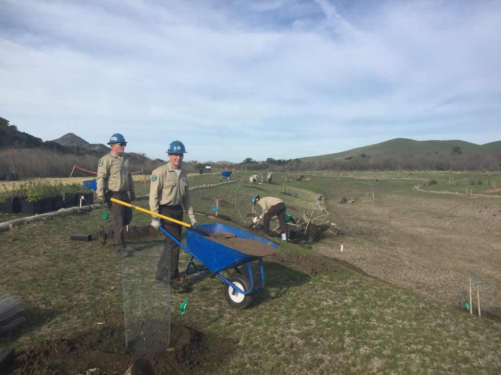
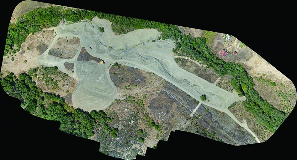
Connecting the creek to the floodplain, constructing large wood structures, and planting natives will have multiple benefits for the Reserve. The enhanced creek habitat will help support a number of wildlife species including steelhead trout, which will use the side channels and large wood structures for refuge habitat. Grading of the channels also helped to prevent excessive sediment from moving downstream to the Morro Bay estuary. This project will be closely monitored in the coming years to track its impact on ecosystem health of the creek and estuary.
So what's living on these wild lands?
Land protection and restoration improves habitat quality for wildlife of all kinds. Some species are far-ranging and needs access to large amounts of land to thrive. While it is not always possible to protect large tracts of land, if wildlife corridors are maintained to connect natural areas then these wildlife can better utilize the open spaces.
A wildlife corridor is a continuous swath of natural or agricultural lands. These open areas connect habitats to maintain ecosystem resilience. These areas allow resources, like water and nutrients, to pass through while allowing safe passage for wildlife.
To help us determine what is living in our watershed, the Estuary Program worked with Dr. John Perrine of Cal Poly’s Biology Department to set up a network of wildlife cameras. These tools allow scientists to collect photographic evidence of rarely species, with little expense, relative ease, and minimal disturbance. They allow for the collection of baseline population data on mammals and birds where only estimates were possible before.
This study used wildlife cameras to determine the distribution and activity levels of medium to large mammals throughout the Morro Bay watershed. Monitoring was conducted in the fall of 2018 and in the winter of 2019. Each season sampled a different site within the Morro Bay Watershed, with each site having multiple stations (camera locations). Cameras were triggered by heat and motion to capture images of animals. The sites were selected after analysis of animal trails, water, and expected high use areas. Both sites had similar species detections, with mountain lions spotted at both sites, and no presence of bears at either site. Non-native feral pigs and red fox were detected at only one station fox. Deer and coyotes were frequently detected.
Data Notes
The map of natural areas conserved, enhanced, and restored includes publicly and privately protected lands and land where restoration and conservation projects have occurred. The map includes projects by partners such as Coastal San Luis Resource Conservation District, Land Conservancy of San Luis Obispo County, California State Parks, California Conservation Corps, San Luis Obispo County, Morro Coast Audubon Society, Trout Unlimited, and many others.
Information on wildlife cameras: https://e360.yale.edu/features/camera_traps_emerge_as_key_tool_in_wildlife_research
Fire management references: https://www.fs.usda.gov/science-technology/fire
How to Read Estuary Health Symbols
The Estuary Health Symbols represent how the status of each question is changing over time. A round symbol indicates that the trend is stable. An arrow indicates an improving trend (up arrow) or a worsening trend (down arrow). The color of the base of the arrow indicates the status of historical data and the color of the triangular part of the arrow indicates the status of the newer data. The color of the symbol indicates the status as follows: Good/Very Good (green), Fair (yellow), Poor (orange), Very Poor (red), and Unknown (grey).
-

This symbol indicates that the water quality was Very Poor and has improved to Poor.
-

This symbol indicates that the trend is stable but we lack adequate data to assign a status.
-
Very Good/Good
-

Fair
-

Poor
-

Very Poor
-
Unknown