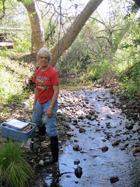
Measuring the water level in local creeks gives us valuable data. We collect this data with pressure transducers.
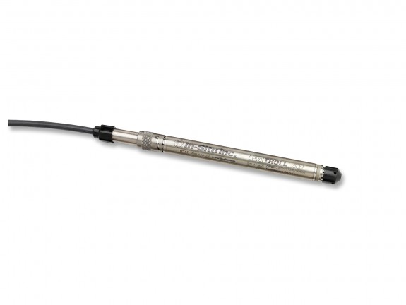
A pressure transducer is a water-level measuring device that we install by submerging it in the creek. It continuously measures the pressure of the water pushing down on it and converts it into a height measurement. These instruments can collect data for months or even years.
Pressure transducers can be used in a wide range of applications, from weather stations, to flood control, to tracking reservoir water levels. We use these devices in our local creek systems to estimate how much water is present. This data can tell us whether a project is impacting water levels in a creek, or which stretch of creek goes dry and might merit further attention. The Estuary Program has six pressure transducer monitoring stations located throughout the watershed.
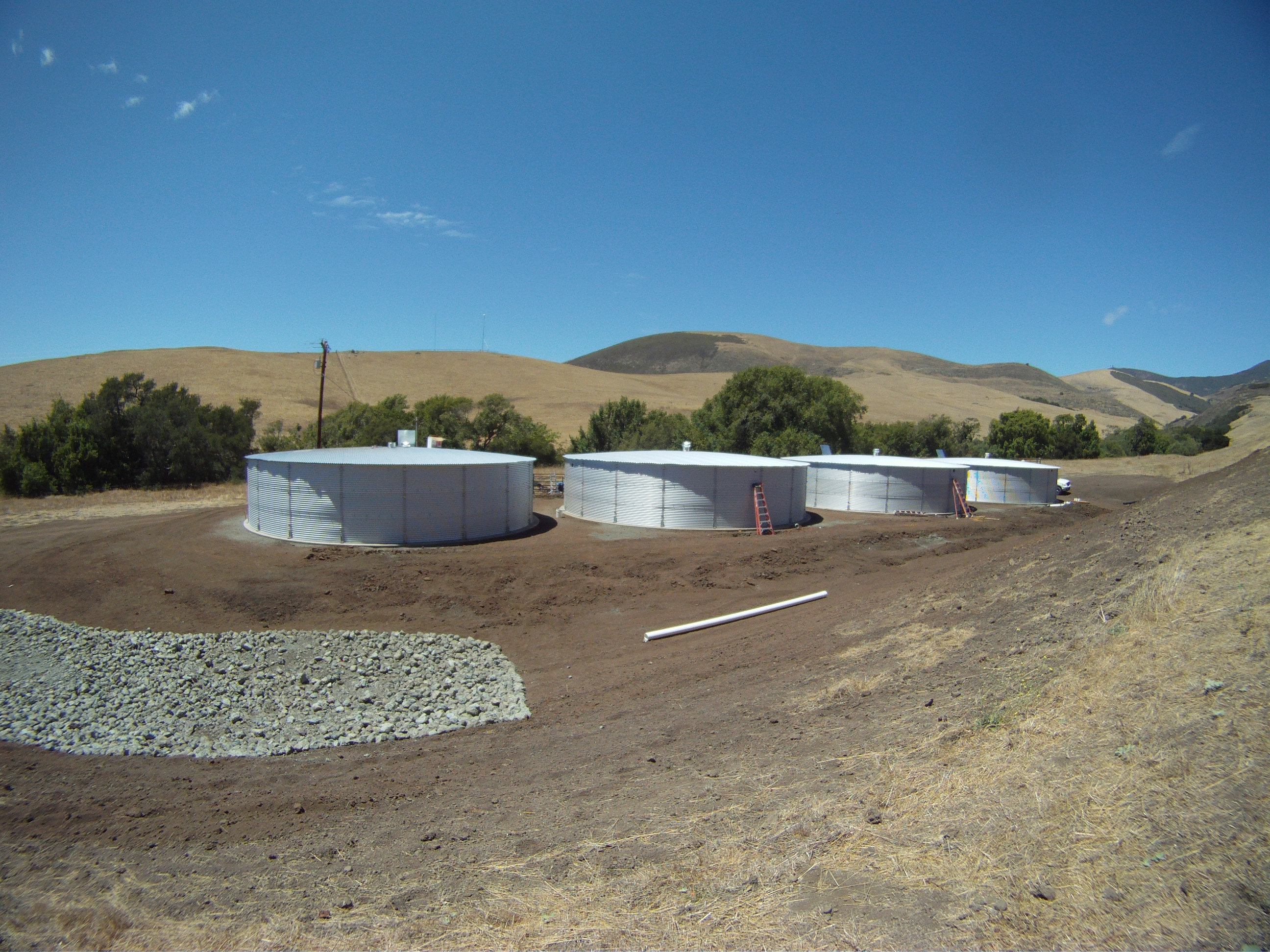
One of the current projects we are monitoring is a rainwater harvesting system on Pennington Creek. We partnered with Cal Poly, the California Conservation Corps, and many other organizations to install a system of gutters, piping, and pumps that collects rainwater from nearby rooftops and stores it in large tanks. During the dry summer months, Cal Poly fills cattle troughs with this captured rainwater, rather than with water pumped from nearby wells. When those wells are pumped, they can decrease the water levels in the creek, leaving less for the fish. A series of pressure transducers in the creek is helping us assess the impacts on water levels when these rainwater tanks are used in place of the wells to supply water to cattle.
High quality data is essential to the Estuary Program and our partners in our efforts to protect and restore Morro Bay. Pressure transducers are one tool in our kit that helps us achieve these goals.
Stay tuned for pressure transducer data in the future.