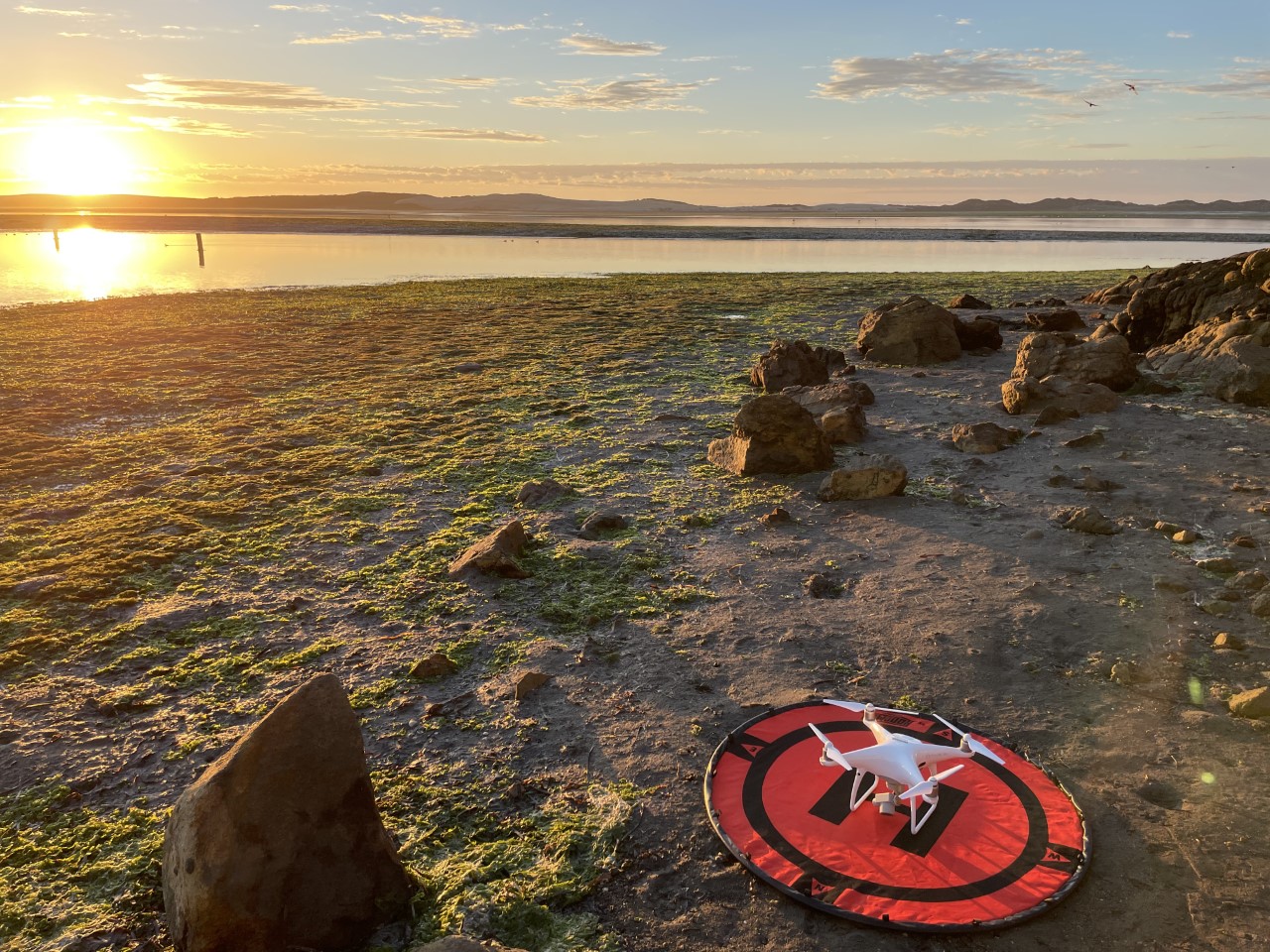
Since 2017, we have partnered with Cal Poly to use a drone to collect aerial imagery of the Morro Bay intertidal zone. The images are stitched together to create a baywide map. Photo courtesy of Ian Robbins.
Enter your email address to subscribe to this blog and receive notifications of new posts by email.
Email Address
Subscribe