Eelgrass map outlines overlayed on drone imagery
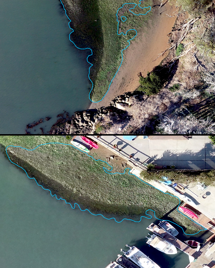
Screenshots taken during the process of outlining eelgrass beds depict the benefits of high-resolution imagery. The image at the top was taken north of Fairbank Point and the image below is from the end of Sandpiper Lane in Morro Bay.
Eelgrass map outlines overlayed on drone imagery