Fulfilling our mission to protect and restore the Morro Bay estuary for people and wildlife requires a lot of hard work in the field. Read on to see what our staff and volunteers have been up to during the month of November.
Eelgrass Monitoring
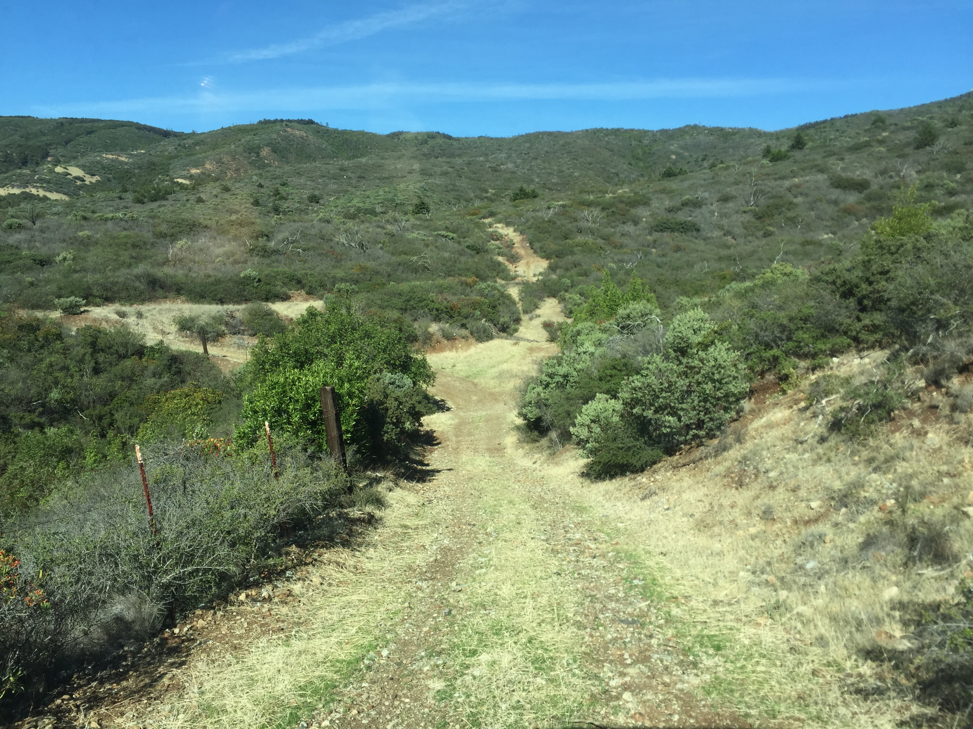
November was a busy month of eelgrass fieldwork for the monitoring staff. We continued monitoring the eelgrass restoration bed near Coleman beach and also took advantage of the great negative tides to conduct bed condition monitoring. These negative tides are great for fieldwork because of how much of the intertidal zone (the area that is exposed at a low tide and under water at a high tide) is exposed.
We also monitor the eelgrass that grows in the subtidal zone (the area that is below the low tide zone that is submerged most of the time). Though often only separated by a few feet, these are two distinct habitat zones, with different species living in them and different challenges. Organisms that live in the intertidal zone battle rough waves, dehydration, and predation from both land and sea animals. Many of these creatures have a protective exoskeleton or shells to protect them for drying out and from being eaten.
As you can probably guess, surveying subtidal eelgrass has different challenges for our staff than intertidal eelgrass. Instead of waiting for the tide to drop so that the area is exposed, like we can do with intertidal monitoring, subtidal surveys require us to put on our own protective gear: wetsuits and snorkeling gear.

Every 25 meters, we place a 0.25m x 0.25m quadrat down on the bottom of the bay and count the number of eelgrass stipes in that area. This allows us to look at the density of subtidal eelgrass.

We do this subtidal monitoring at five eelgrass beds throughout the bay. Four of those beds are the same beds where we also conduct intertidal monitoring. The subtidal survey is done along the portion of the bed that stays submerged in the water.
Watershed Stewards Project
The Estuary Program is proud to be part of the San Luis Obispo Steelhead Initiative placement site for the AmeriCorps Watershed Stewards Program. This month we took our members, Khaalid and Lauren, out into the field for a day of water quality monitoring.

Roads Project
Karissa and Carolyn checked on Rural Road Restoration Project sites on both Cal Poly and Camp SLO property to see if any additional restoration needed to be completed before the winter hit. Luckily, all of the sites they visited looked good and are ready for the rain season to come.
Diablo Cove Boat Tour
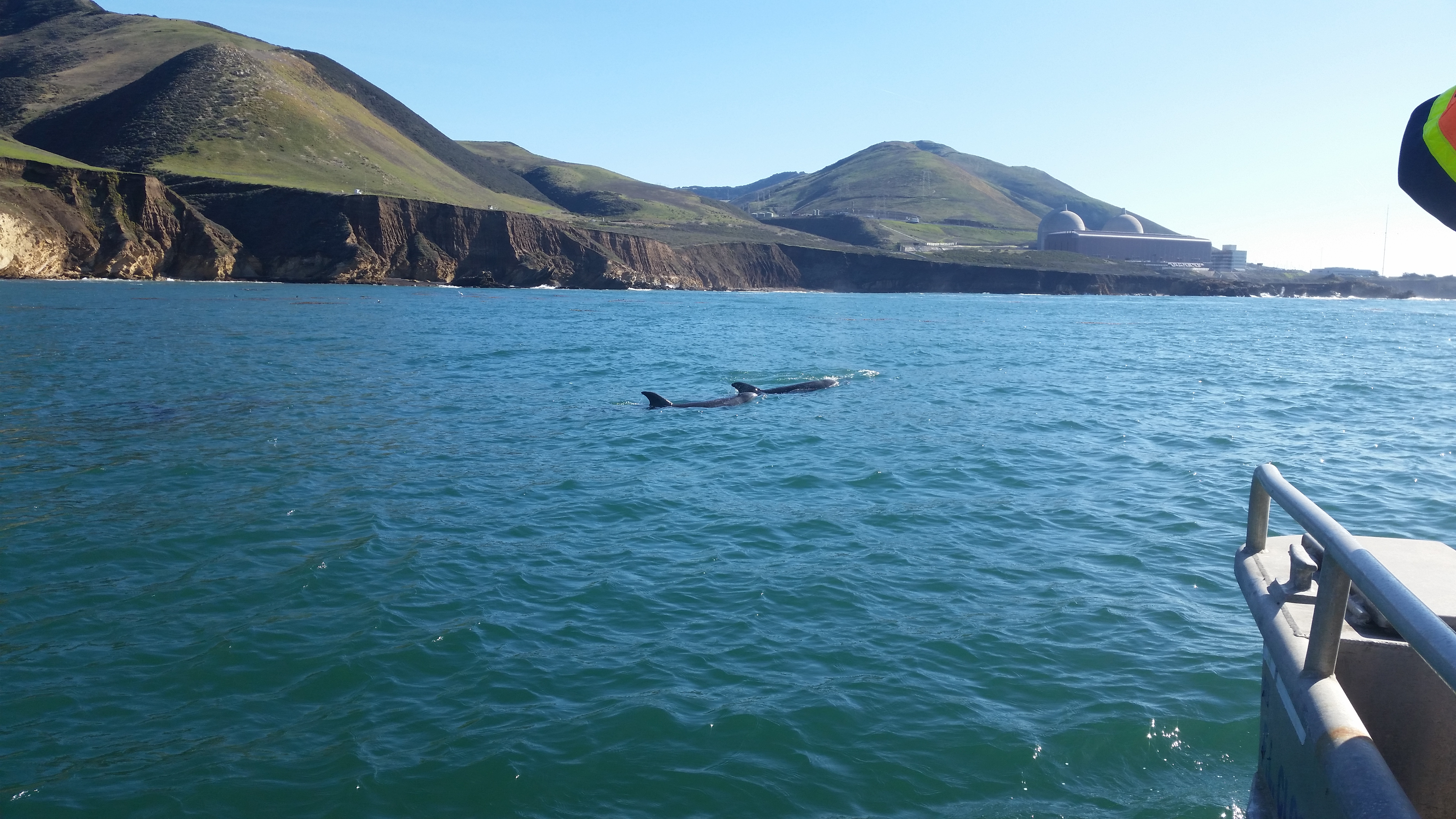
John Lindsey, Media Relations Representative and Marine Meteorologist for Pacific Gas and Electric (PG&E) offered to take our staff out on a boat tour of Diablo Cove at Diablo Canyon Power Plant. Estuary Program staff keeps a close eye on John Lindsey’s weather predictions to help us plan our monitoring. We were excited to get to meet him and learn more about what he does.
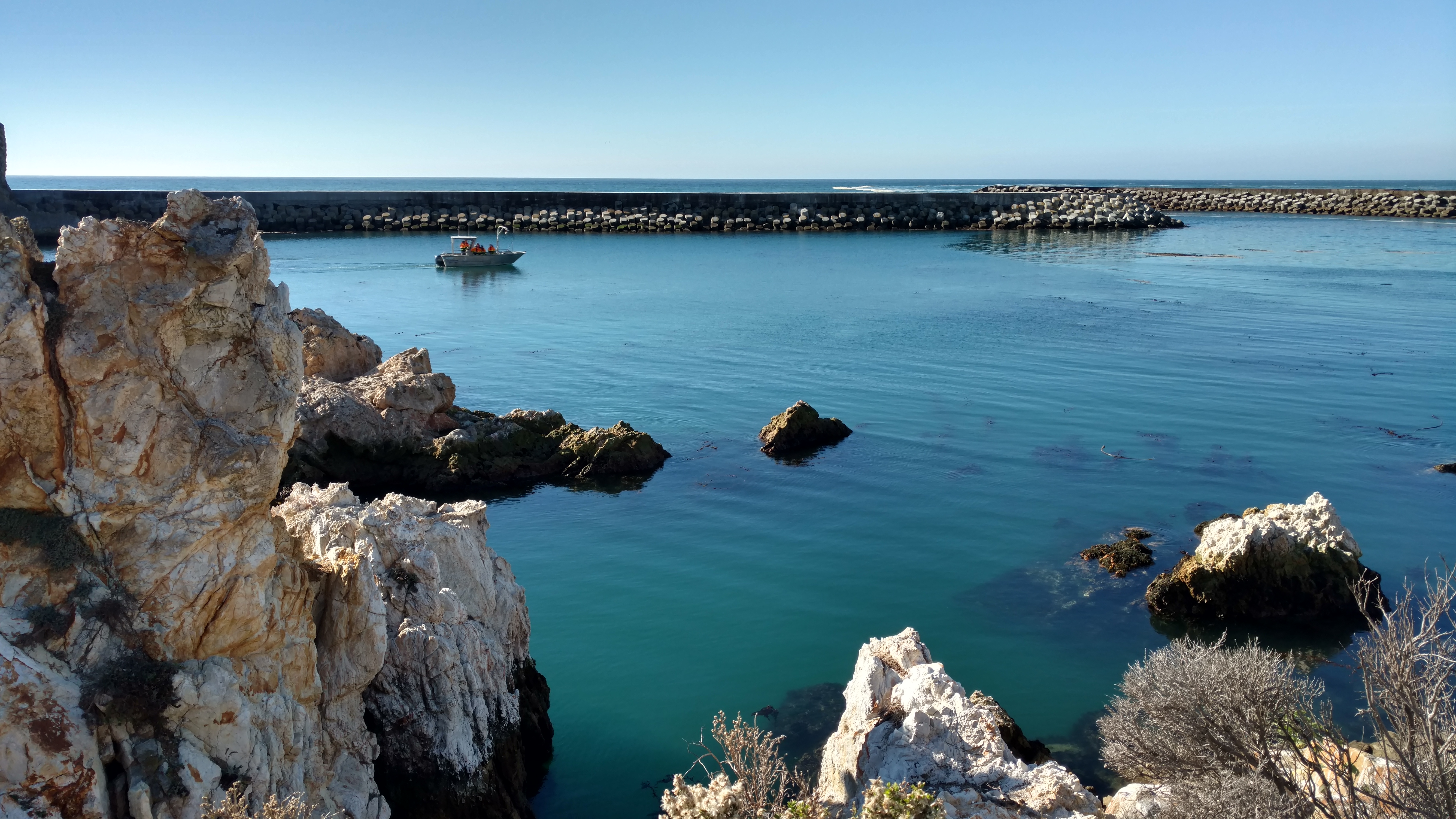
We got a gorgeous, calm day for our tour. The visibility inside the cove was great, and we were lucky to see dolphins, harbor seals, brown pelicans and grey whales.
Are you interested in learning more about our local weather? You can read John’s weather forecast, or subscribe to his local daily email forecast by emailing pgeweather@pge.com. You can also look for his latest Sunday column in the San Luis Obispo Tribune.