Today, we’re sharing photos that depict drought and large storms, two extremes that are expected to occur more frequently on California’s central coast due to climate change.
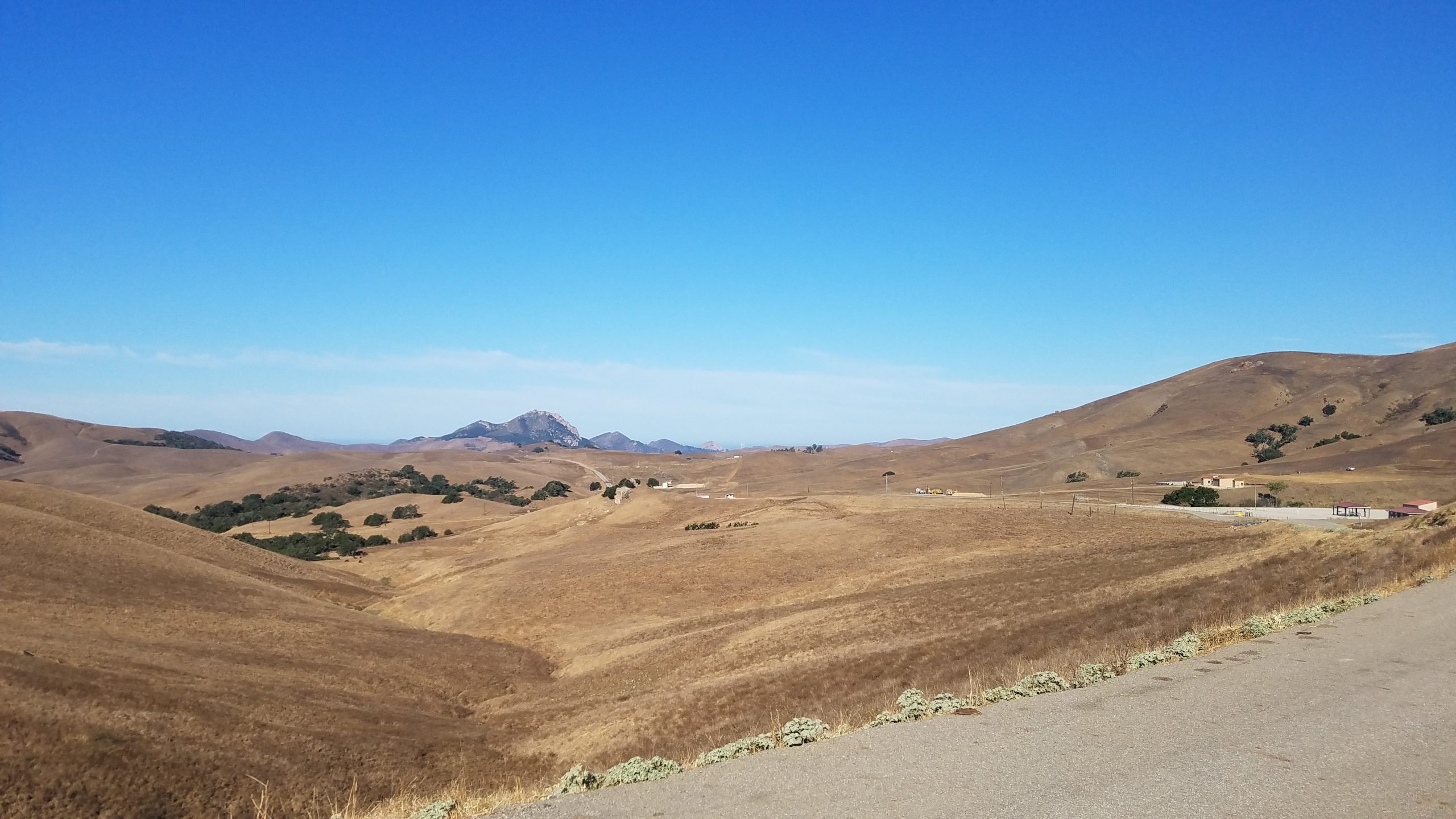
Historic drought
The 2021 water year, which began on October 1, 2020, has been historically dry. The California Department of Water Resources expressed concern about the dry winter conditions back in January 2021. In his Weather Watch column, John Lindsey tackled the future of drought across the state in June 2021, and the Central Coast’s quick dive from a state of Severe Drought to Extreme Drought in July 2021.
Big storms
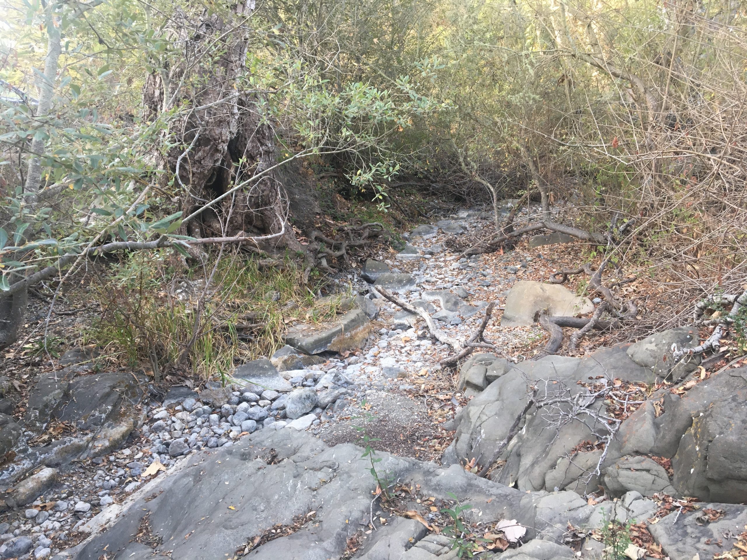
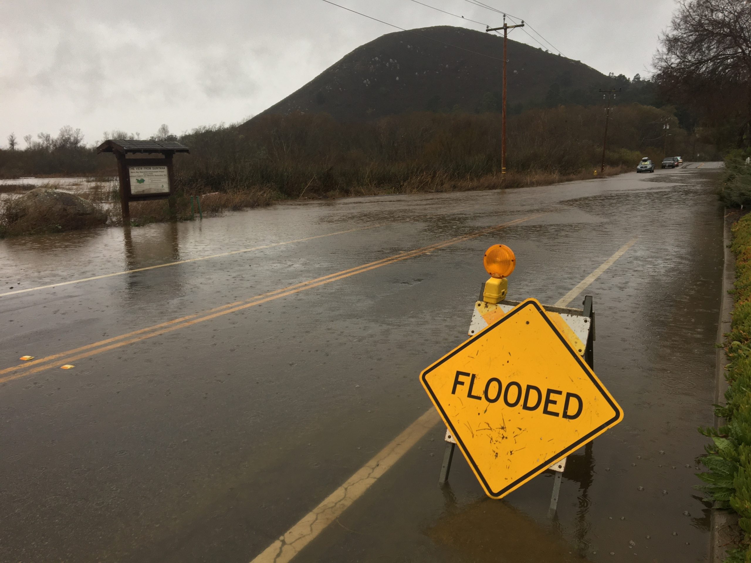
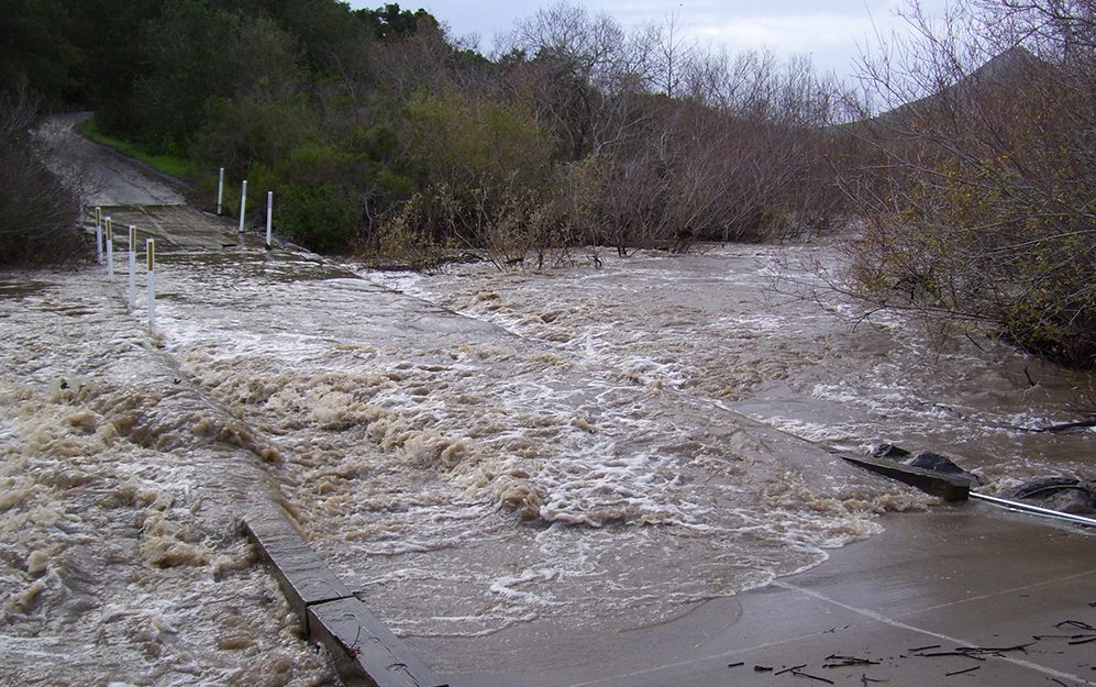
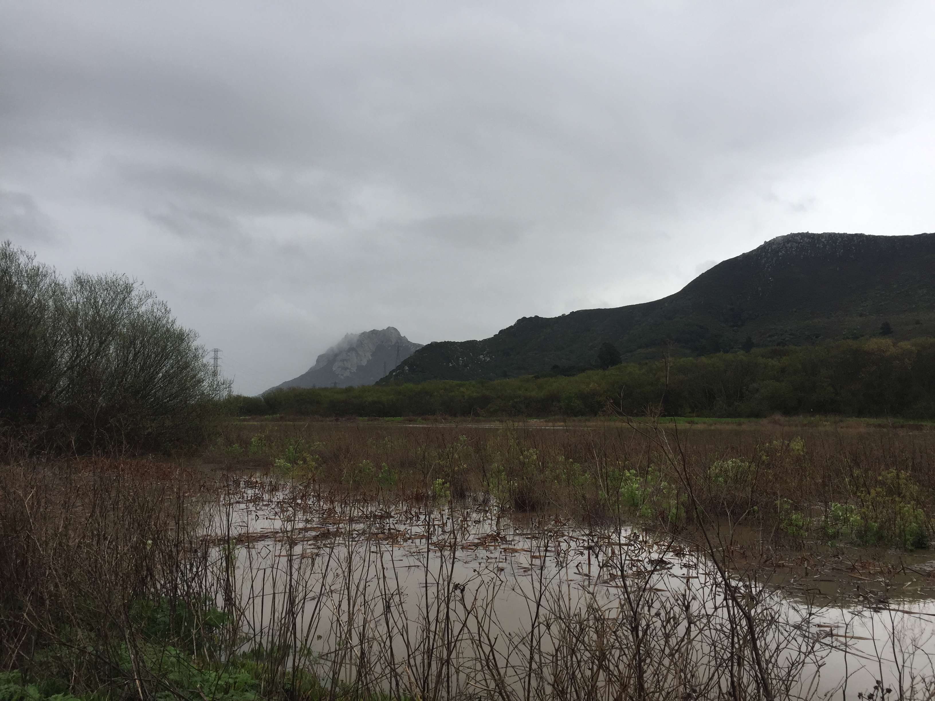
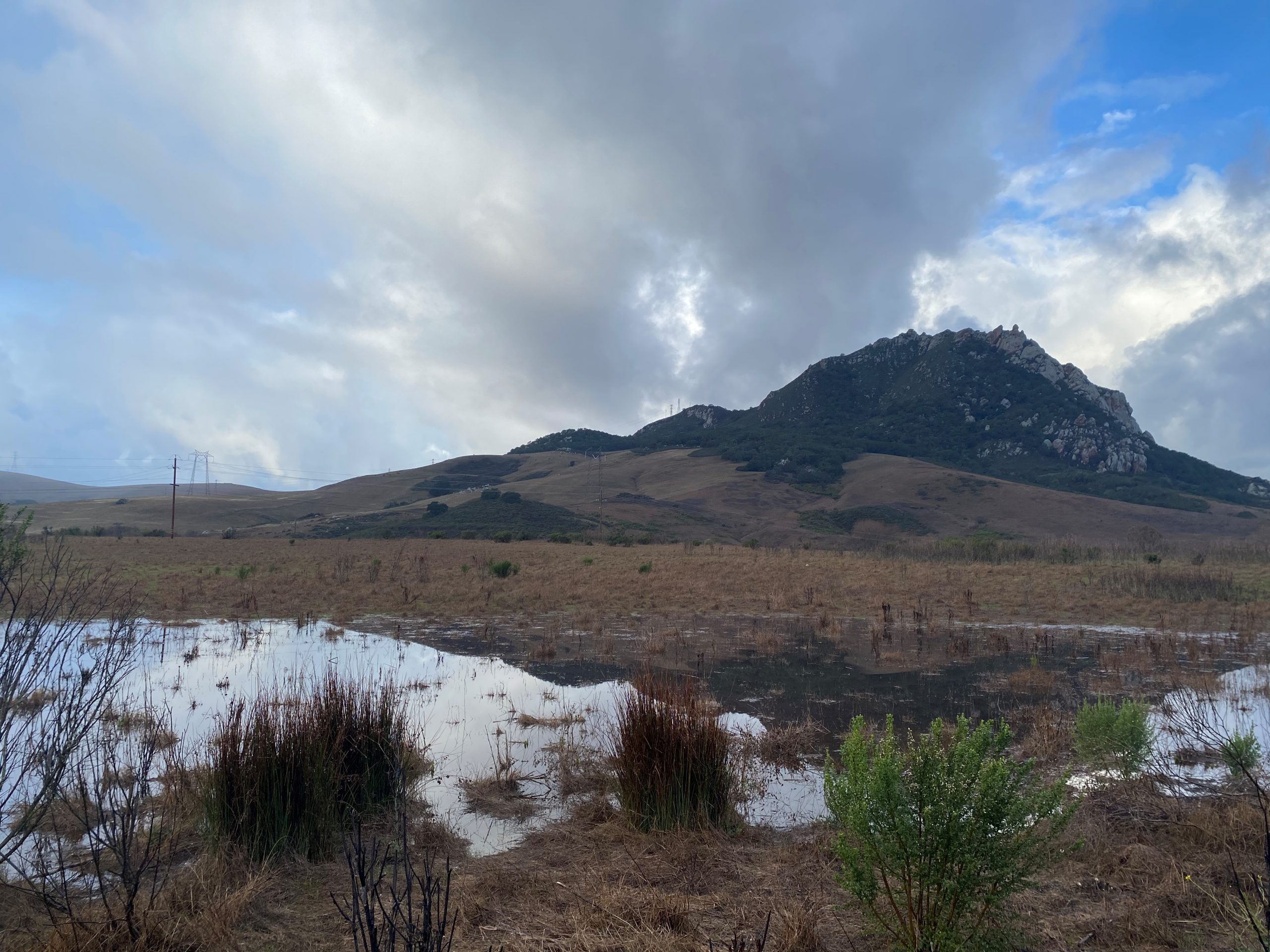
Despite the overall dry conditions, we also saw a large storm in January that dropped as much as 13 inches of rain at Rocky Butte and more than eight inches in Los Osos.
This video from the San Luis Obispo Tribune shows San Luis Creek’s low water level before the storm and it’s rapid rise and rush as the storm progressed.
Storms of this magnitude are not unheard of, but we don’t expect to see them very often. In fact, the January 2021 storm has been called a 10-year storm event, meaning that we can expect to see a storm that large only once every ten years. (This doesn’t mean a storm this large can’t happen more frequently. The United States Department of Agriculture explains how “storm recurrence intervals”—10-year and 100-year storm sizes, for example—are calculated.)
Increased drought and storminess
Unfortunately, scientists expect this combination of drought and big storm events to become much less remarkable on California’s Central Coast as a result of climate change.
Our Climate Vulnerability Assessment for the Morro Bay watershed shares more information about how we can expect our climate to change in the coming decades.
Healthy creeks, marshes, and floodplains can help
Healthy creeks, marshes, and floodplains can help protect both our natural areas and infrastructure—like roads, bridges, and buildings—from both drought and runoff from large storms.
Floodplains, the areas of land directly next to flowing creeks, allow water to spill over the banks, slow down, and sink into the soil instead of flowing downstream.
When trees, shrubs, and other vegetation line creeks and dot floodplains, their roots tunnel through the soil, making room for water to sink in. The foliage, trunks, and branches of these plants intercept rainwater before it hits the ground. This slows the water down, making it more likely that the water will percolate into the ground rather than rushing over it.
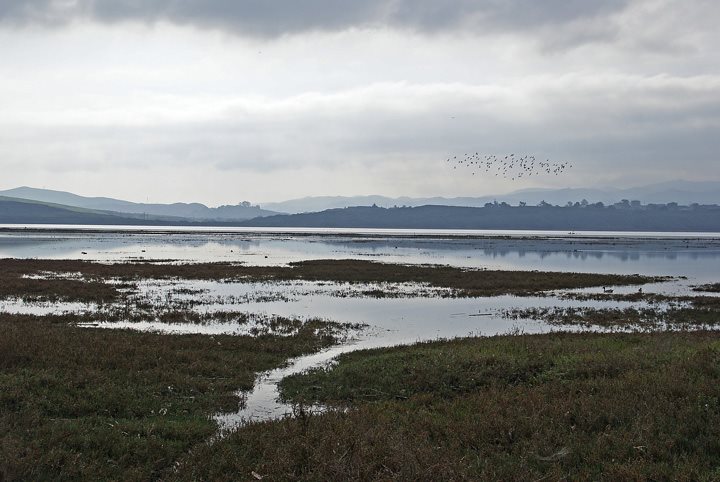
Marshes, including Morro Bay’s salt marsh, act like a sponge. During storms, they can hold onto excess water, preventing it from damaging other habitats and infrastructure. Wetlands also hold onto water during dry times, releasing it slowly and allowing the plants there to live even when water is scarce.
Subscribe to our blog
Keep an eye out for future posts detailing the Chorro Creek Ecological Reserve floodplain restoration project. Get it delivered to your inbox by subscribing today.
Help protect and restore the Morro Bay estuary
- Donate to the Estuary Program and support our work in the field, the lab, and beyond.
The Estuary Program is a 501(c)3 nonprofit. We depend on funding from grants and generous donors to continue our work. - Purchase estuary-themed gear from ESTERO. This locally owned and operated company donates 20% of proceeds from its Estuary clothing line and 100% of Estuary decal proceeds to the Estuary Program. Shop online at esterosurf.com or at Joe’s Surfboard Shop in Morro Bay. Thank you, ESTERO!
- Purchase items from the the Estuary Program’s store on Zazzle. Zazzle prints and ships your items, and the Estuary Program receives 10% of the proceeds. Choose from mugs, hats, t-shirts, and even fanny packs (they’re back!) with our fun Estuary Octopus design or our Mutts for the Bay logo.