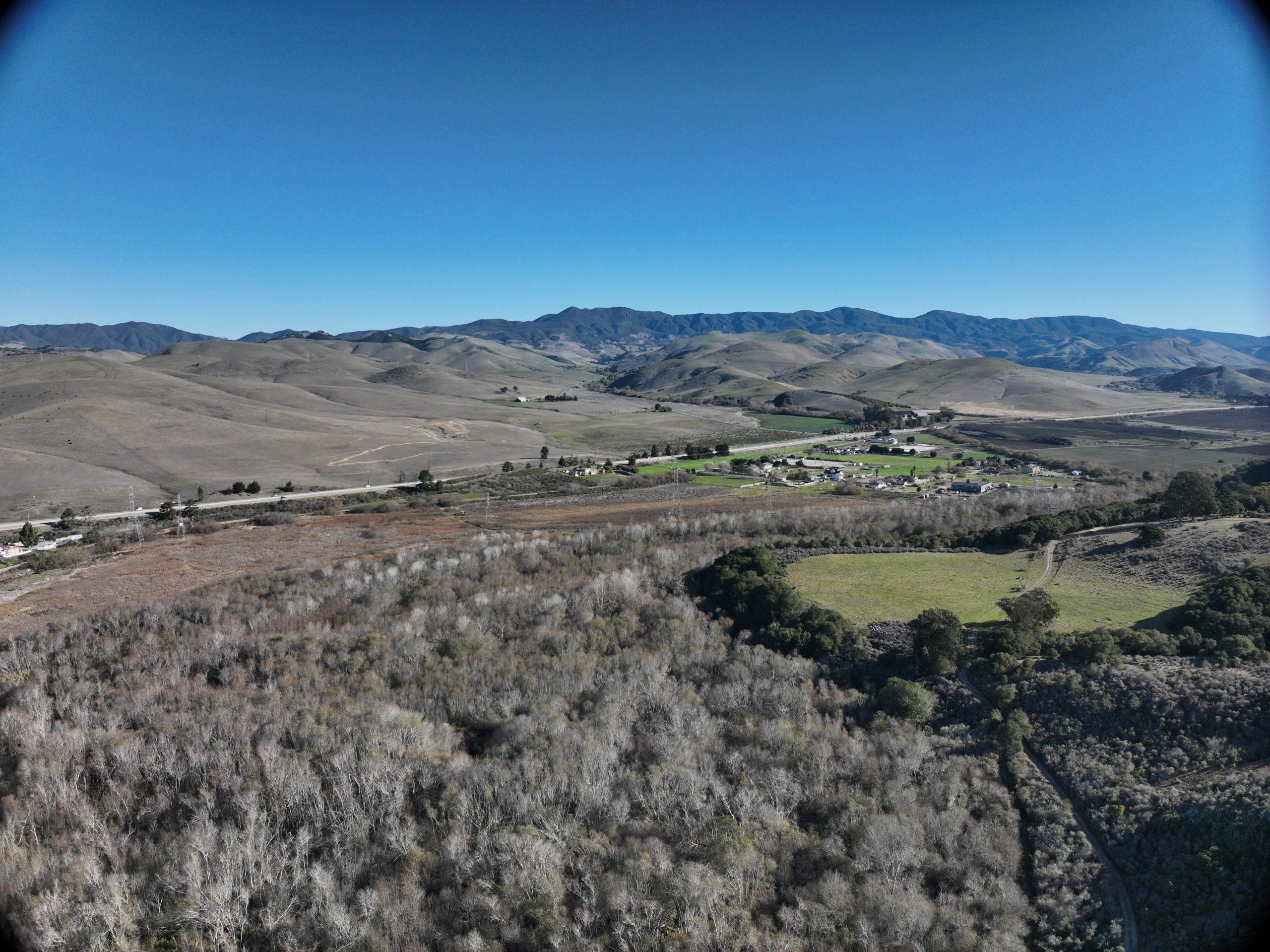
This aerial image shows the lower Chorro Creek floodplain on Chorro Flats in the foreground, with Highway 1 and the residential area that flooded along Chorro Creek Road beyond it.
Enter your email address to subscribe to this blog and receive notifications of new posts by email.
Email Address
Subscribe