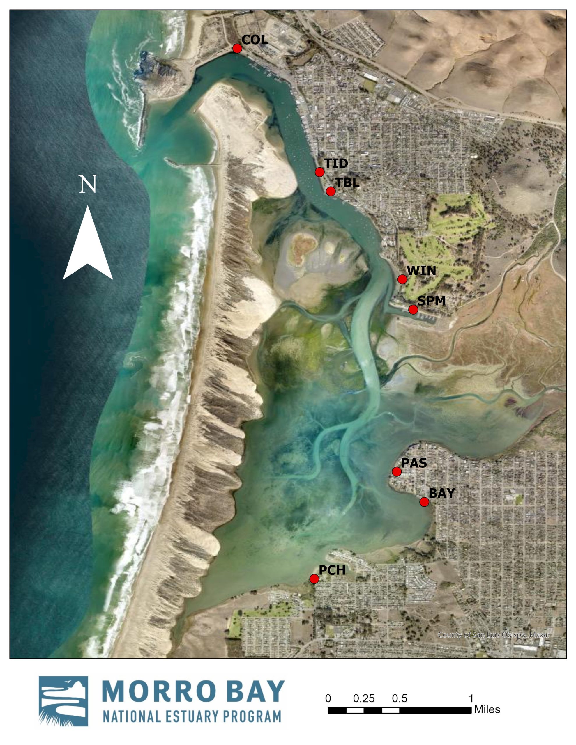
The map above displays the eight Recreational Use Monitoring sites, spanning from Coleman Beach (COL) to the end of Pecho Road (PCH) in Los Osos.
Enter your email address to subscribe to this blog and receive notifications of new posts by email.
Email Address
Subscribe