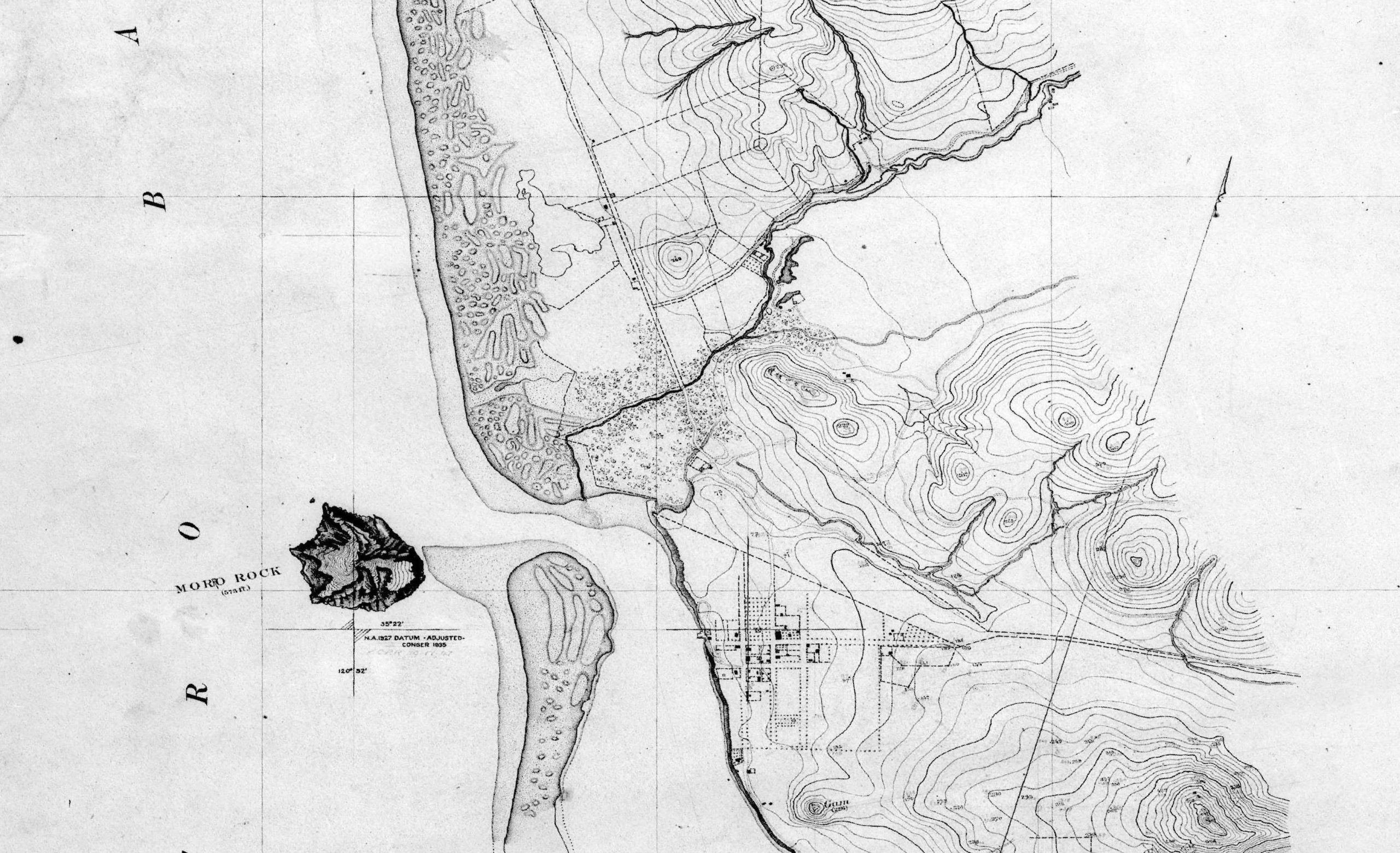
This map was drawn by hand for the United States Coast Survey in 1884. At this time, the estuary mouth was situated on the north side of Morro Rock, which was connected to the sandspit. Map “T-1662” courtesy of NOAA.
Enter your email address to subscribe to this blog and receive notifications of new posts by email.
Email Address
Subscribe